Trolloypa 2026
Rob Brooks
24th Feb – 1st March 2026
After returning from a week in Mysusaeter in January I had already decided that I wanted to return to Norway and do more of an expedition style trip. After considering a few option I decided to take on the Trolloypa (Trolls Trail) which runs 103 miles from Høvringen to Lillehammer. It’s possible to do this as an organised hut to hut trip over 8 days but I wanted a little more adventure so decided to do it solo with a combination of staying in huts and wild camping (and it also saved me the £2500 they were charging for the trip).
I gave myself 6 days which included a few days contingency to account for adverse weather and/or poor snow conditions.
2 flights, a train and a taxi got my to Mysusæter at around 6pm where I had booked an overnight stay at the Mysusæter Servicesenter. I had decided to start here instead of Høvringen because I done most of this section already and the logistics on getting here were much easier. And it was only 14 miles less.
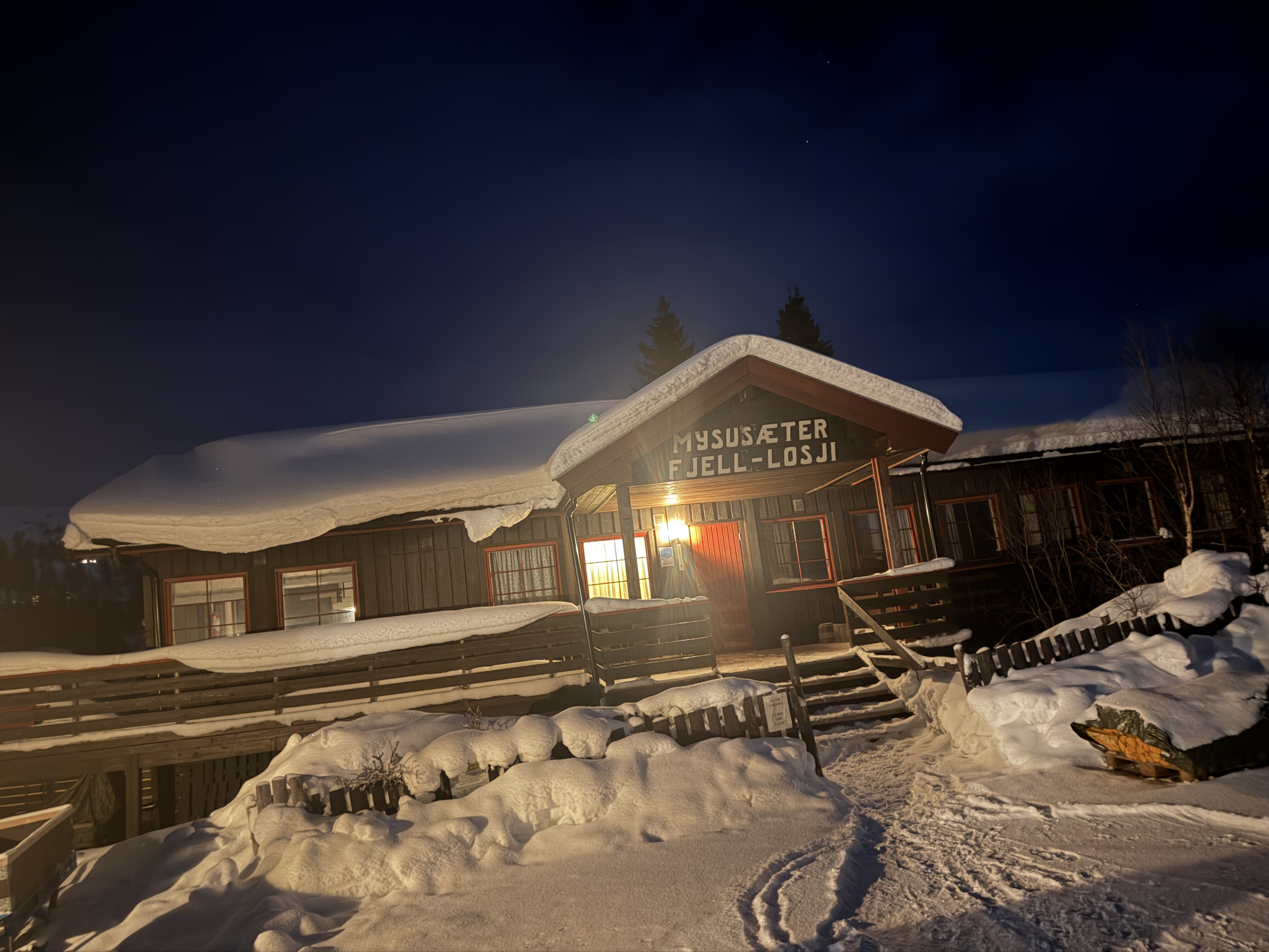
Upon arriving I was greeted by an elderly couple who maintained the hut. The shop was open but I didn’t need anything as I’d managed to buy a gas canister for my stove in Otta. I was the only person staying there so had the place to myself. Even through it was dark I couldn’t resist a little 3 mile shakeout ski around the groomed tracks which was fun and I was also greeted by far ranging views into the Rondane National Park.
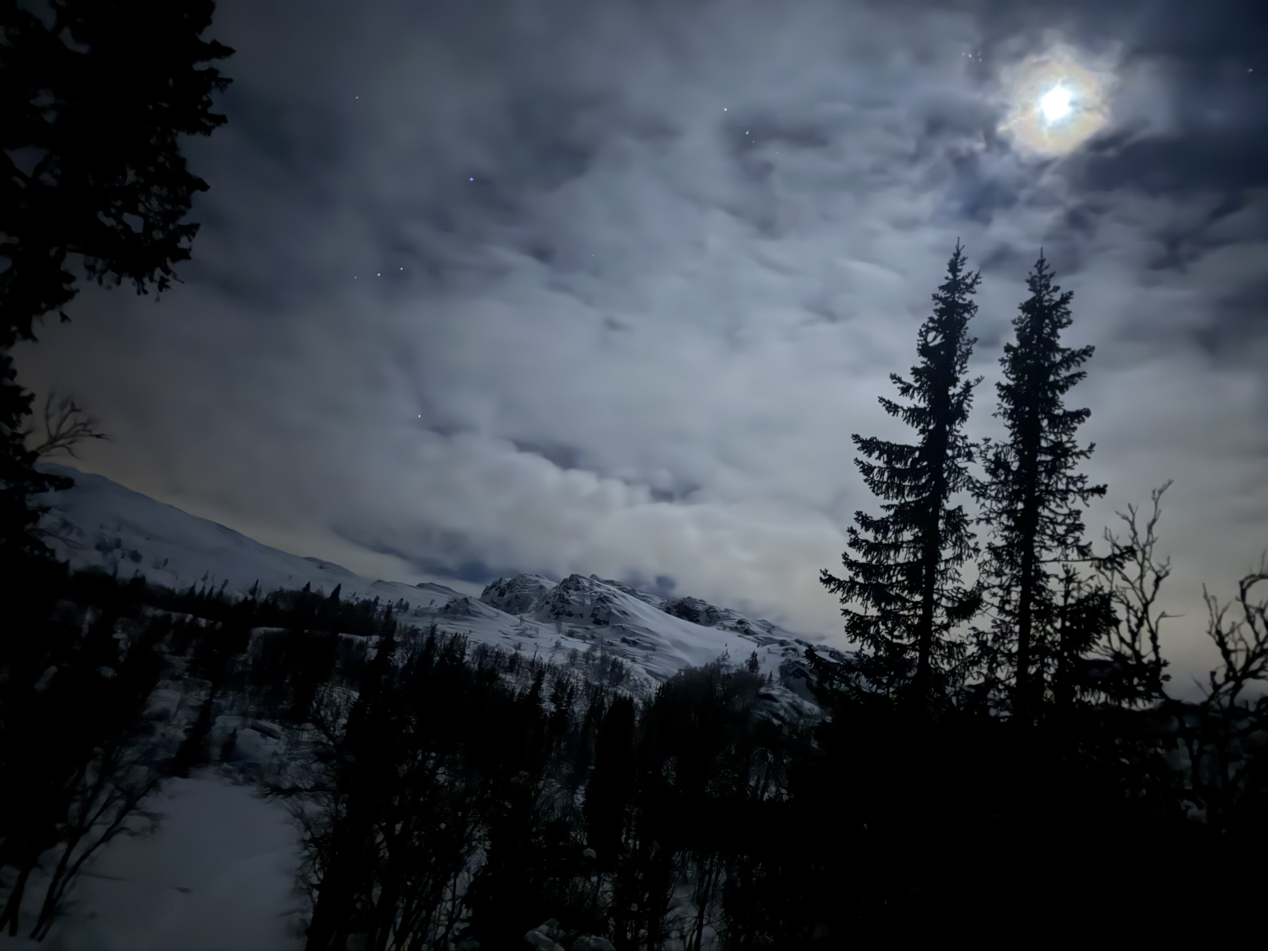
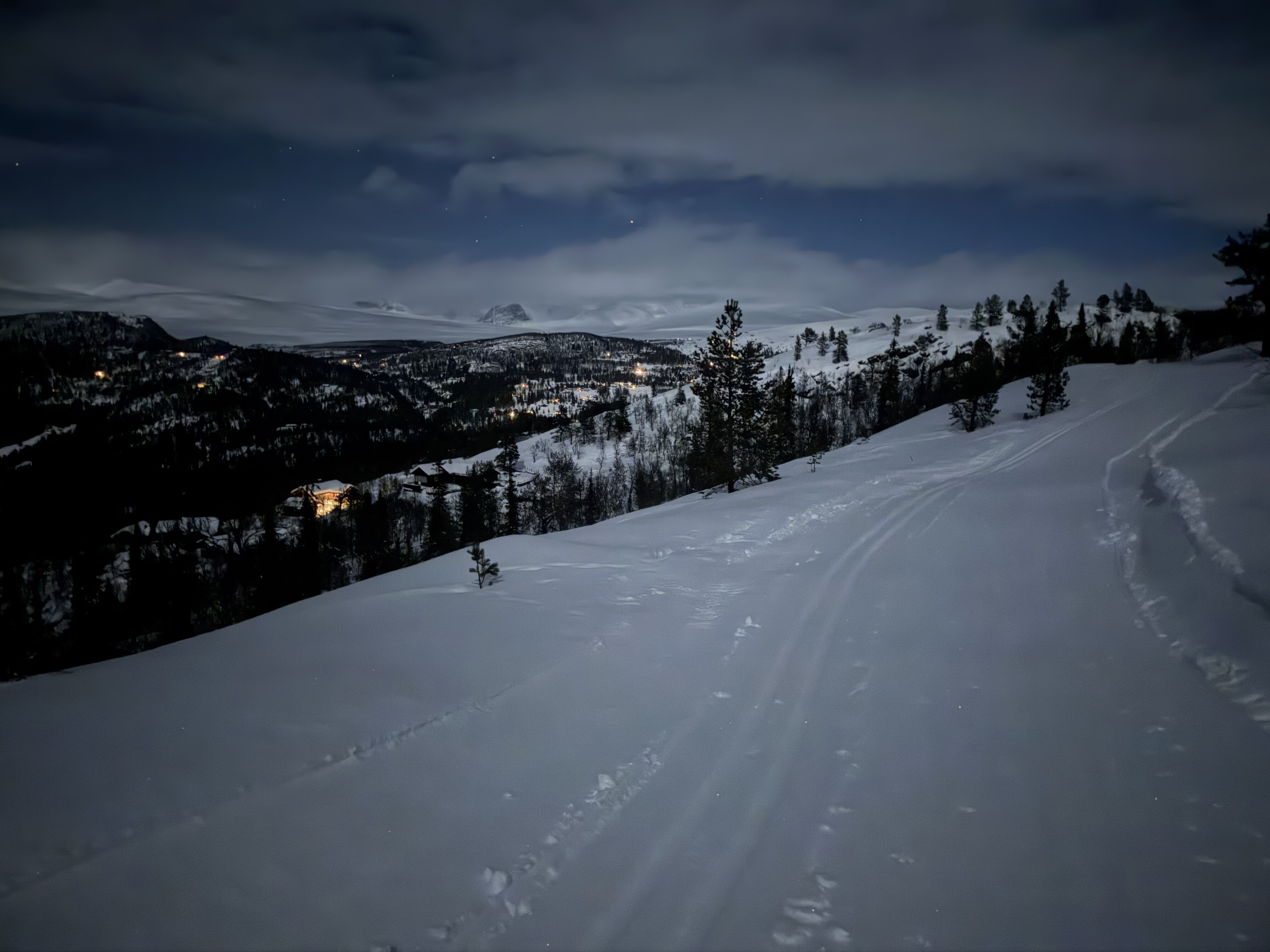
When I returned I realised I’d made a schoolboy error. I’d brought a powerbank and cables to charge all of my appliances, but didn’t have the right plug to charge the powerbank itself from a mains socket … DOH…
They didn’t sell them in the Servicesenter so I’d have to wait till I got to Susjoen and try to find one there.
Day 1: Mysusæter – Venabu, 25 miles
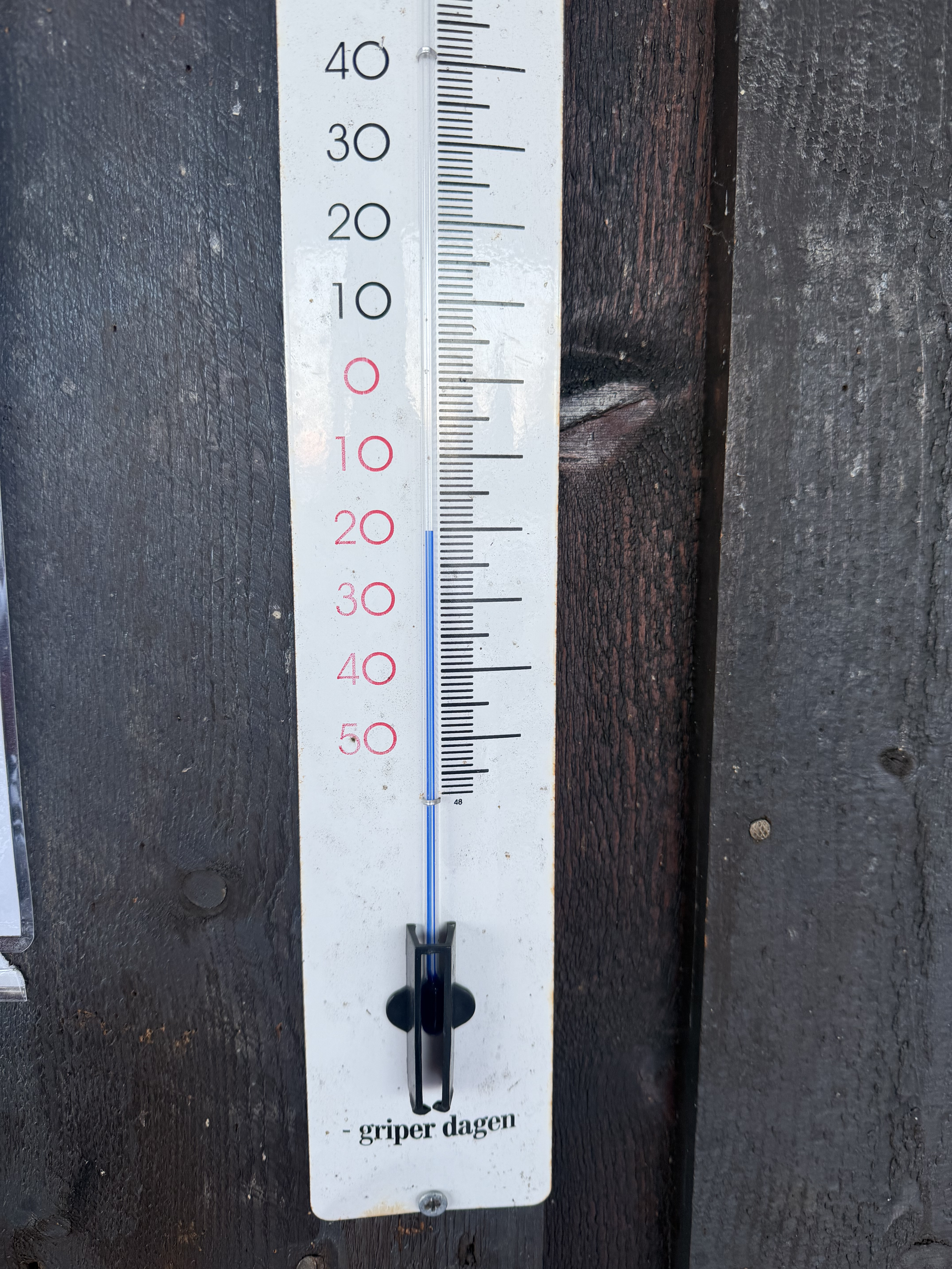
The following day I got started around 8am. It was -20, but promised to be a bluebird day. Instead of taking the trail directly I decided to do a slight diversion to take in the Glitterdalen which involved a bit more climbing and distance but the scenery made it worth it.
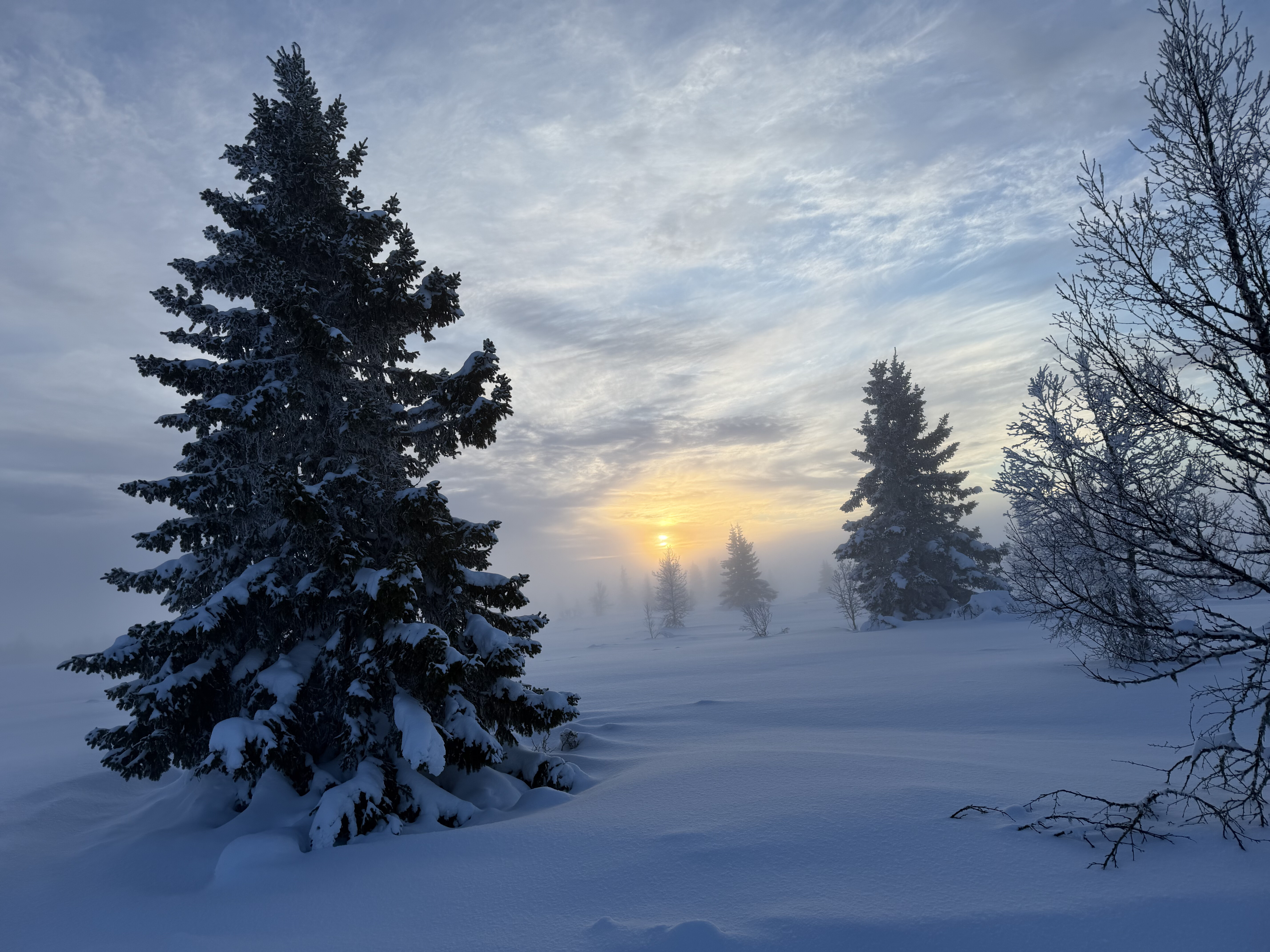
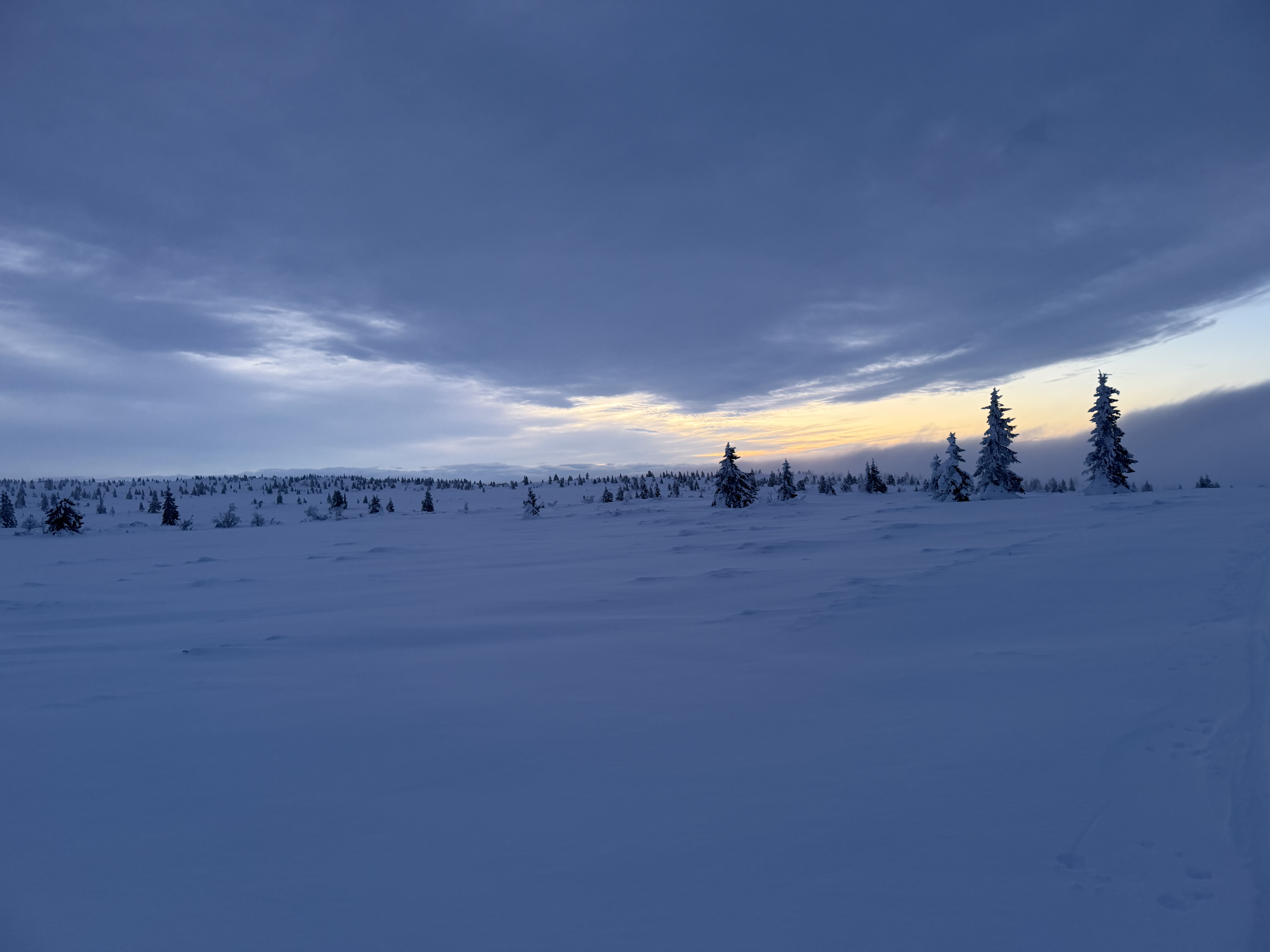
At the outskirts of the town I made it onto the open fell and the views were absolutely breathtaking. The mountains of the Rondane national park seemed within touching distance, and snow covered peaks stretched out in every other direction as far as the eye could see.
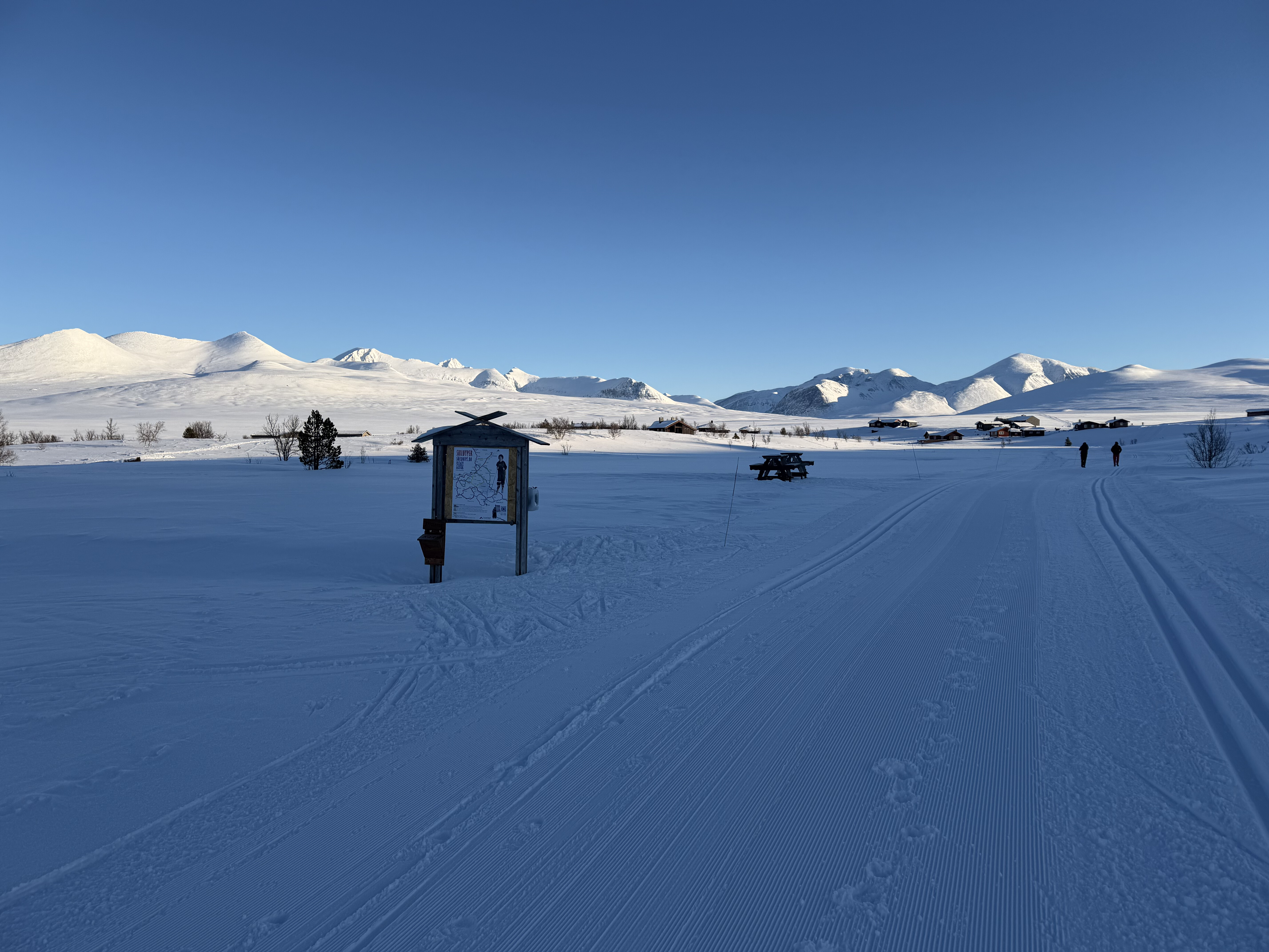
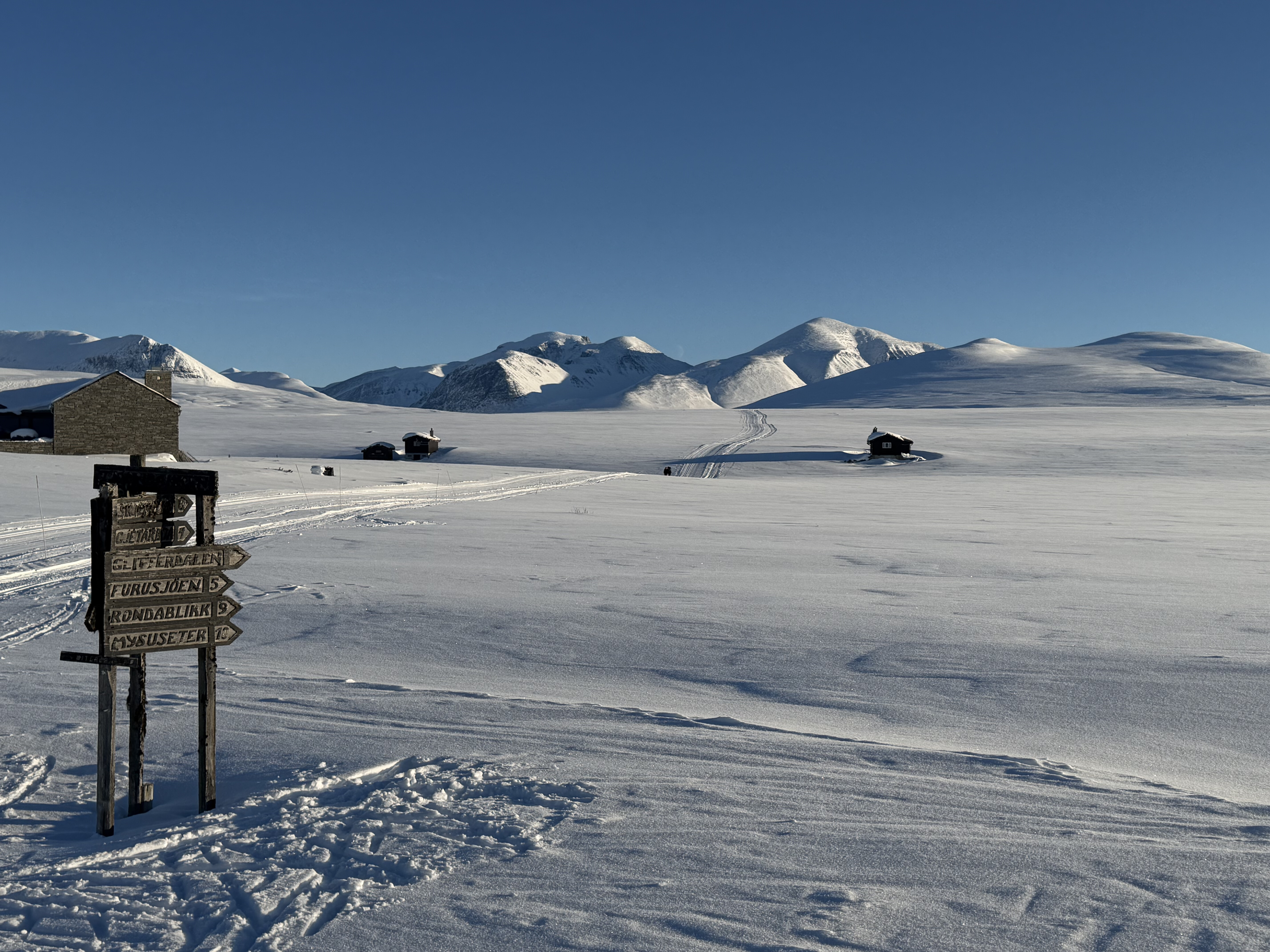
The trail was in really good condition – firm but not icy. At this point life couldn’t have been better.

After a few miles across the plateau it was time for the first proper test of my new pulk – the descent down the Glitterdalen valley and back below the treeline.
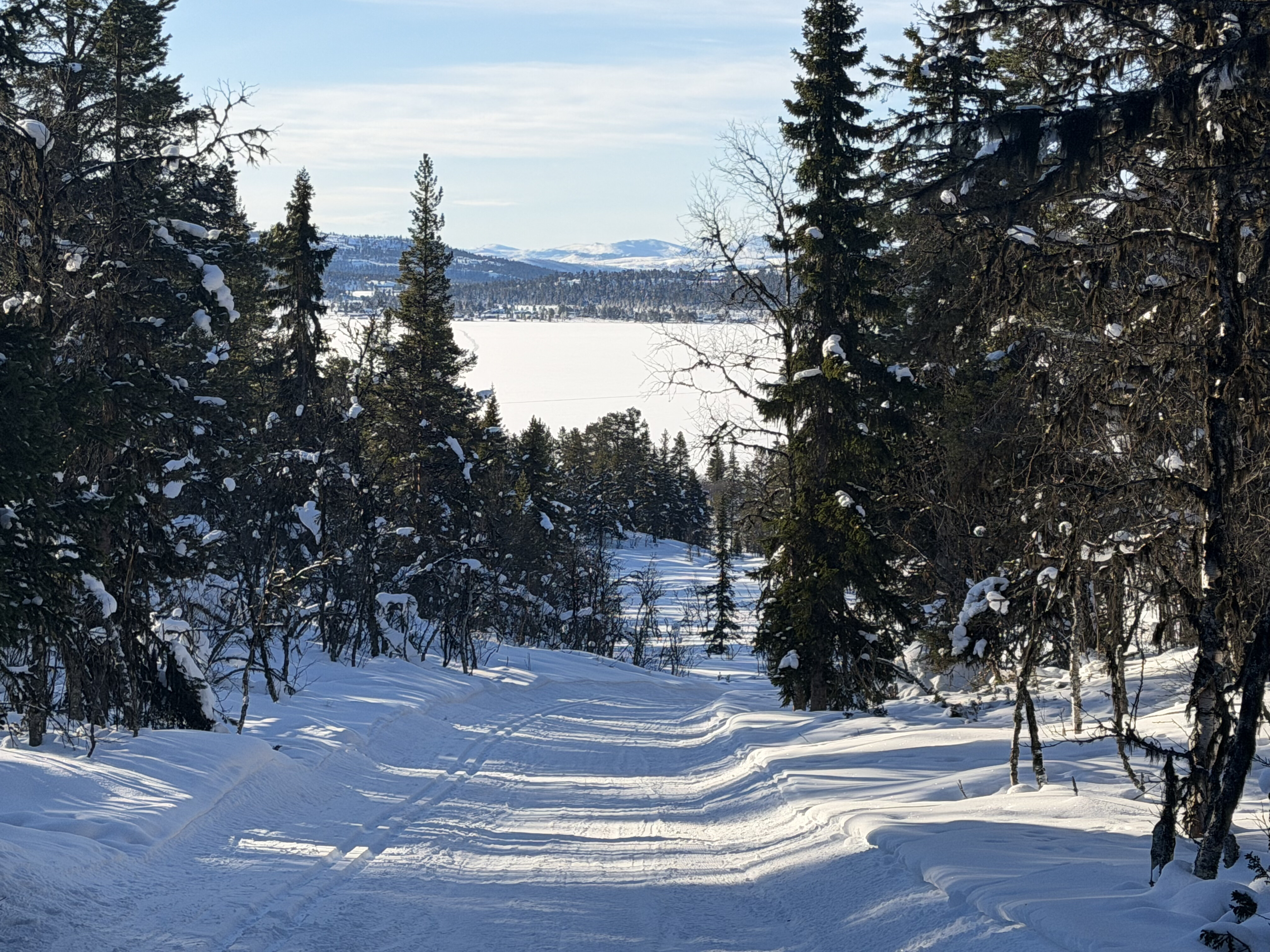
I had a few bumps but managed to make it to the bottom only falling over once – a definite improvement from last years Arctic Spine race.
The next section took me along the shoreline of a frozen lake which I’d crossed a month earlier but it was time to press on and till I reached the end of the groomed trails.
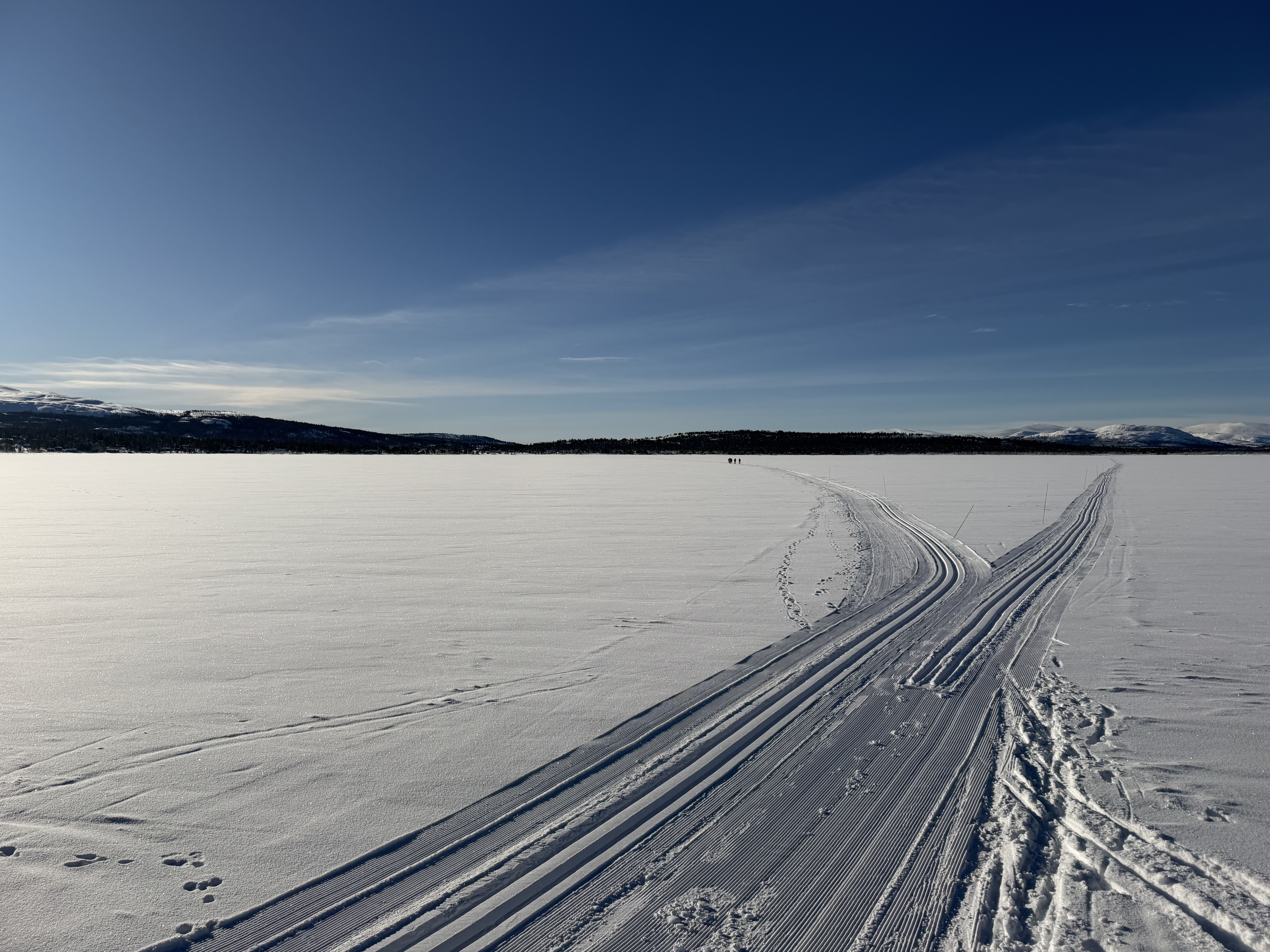
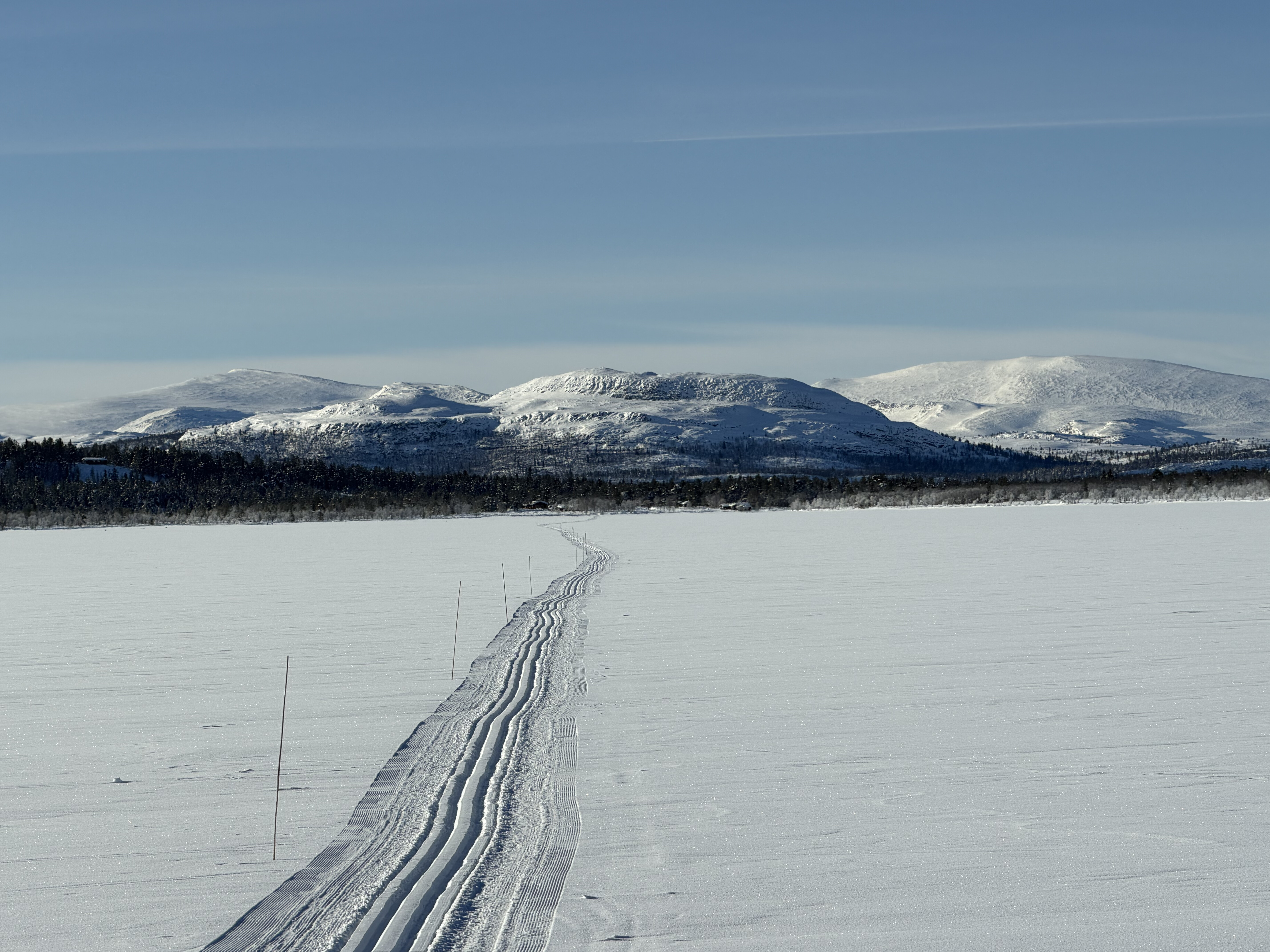
The route now transitioned to a branch marked trail with some quite deep snow and rose quite steeply in places through a gorgeous birch forest. I struggled for traction a number of times on some of the steeper ramps so ended up taking off my skis and walking to the top and once more onto the open fell. I could have probably made it on ski’s if I’d had my full length skins but I’d decided not to bring them on this trip as there wasn’t any significant climbing on the route.
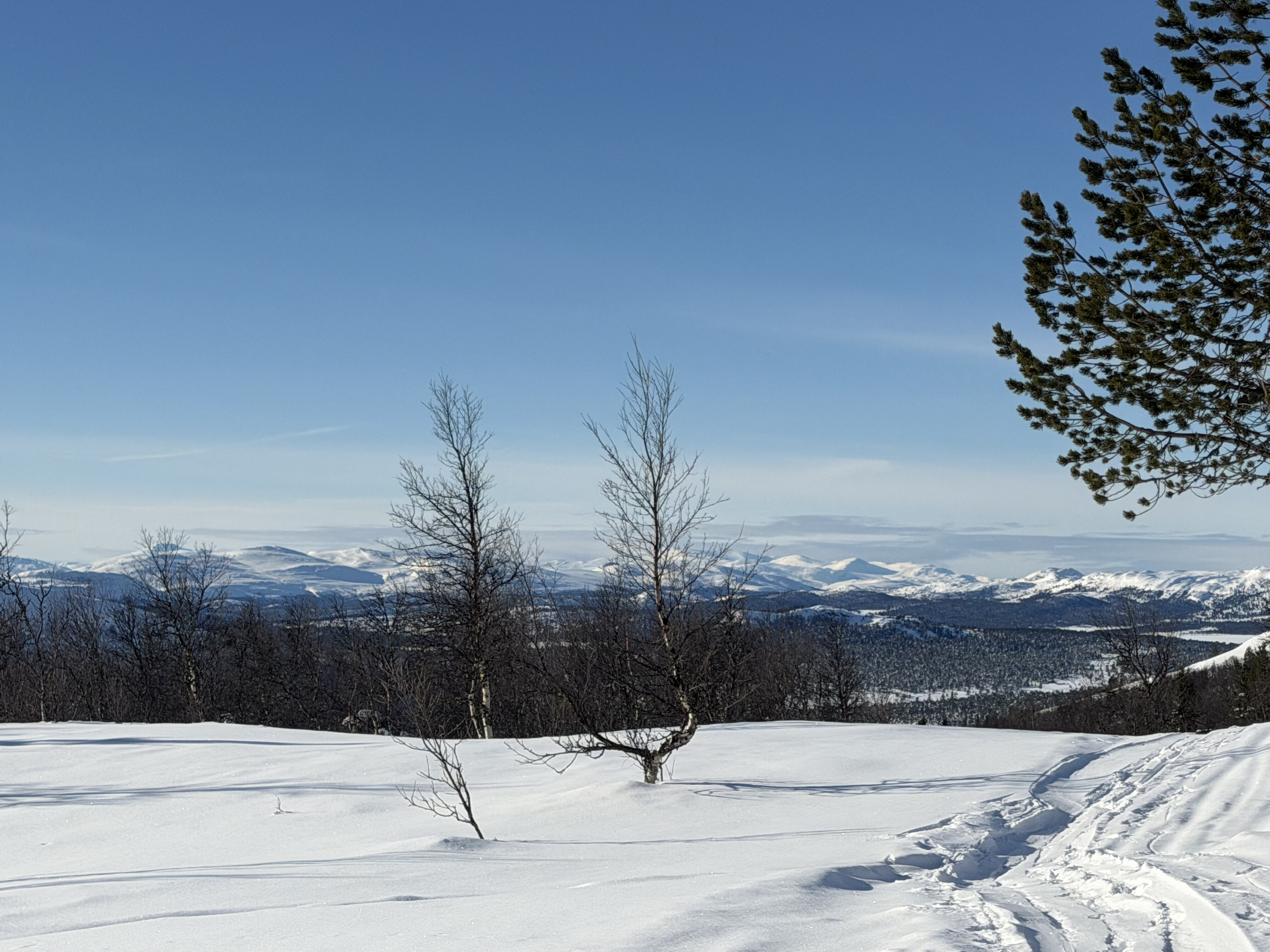
Once more I was struck by the vastness and beauty of the landscape, it was a true winter wonderland. The pace was slower on this section as the wind had covered the previous tracks so I was following the branch markers and breaking trail which was quite hard work at times.
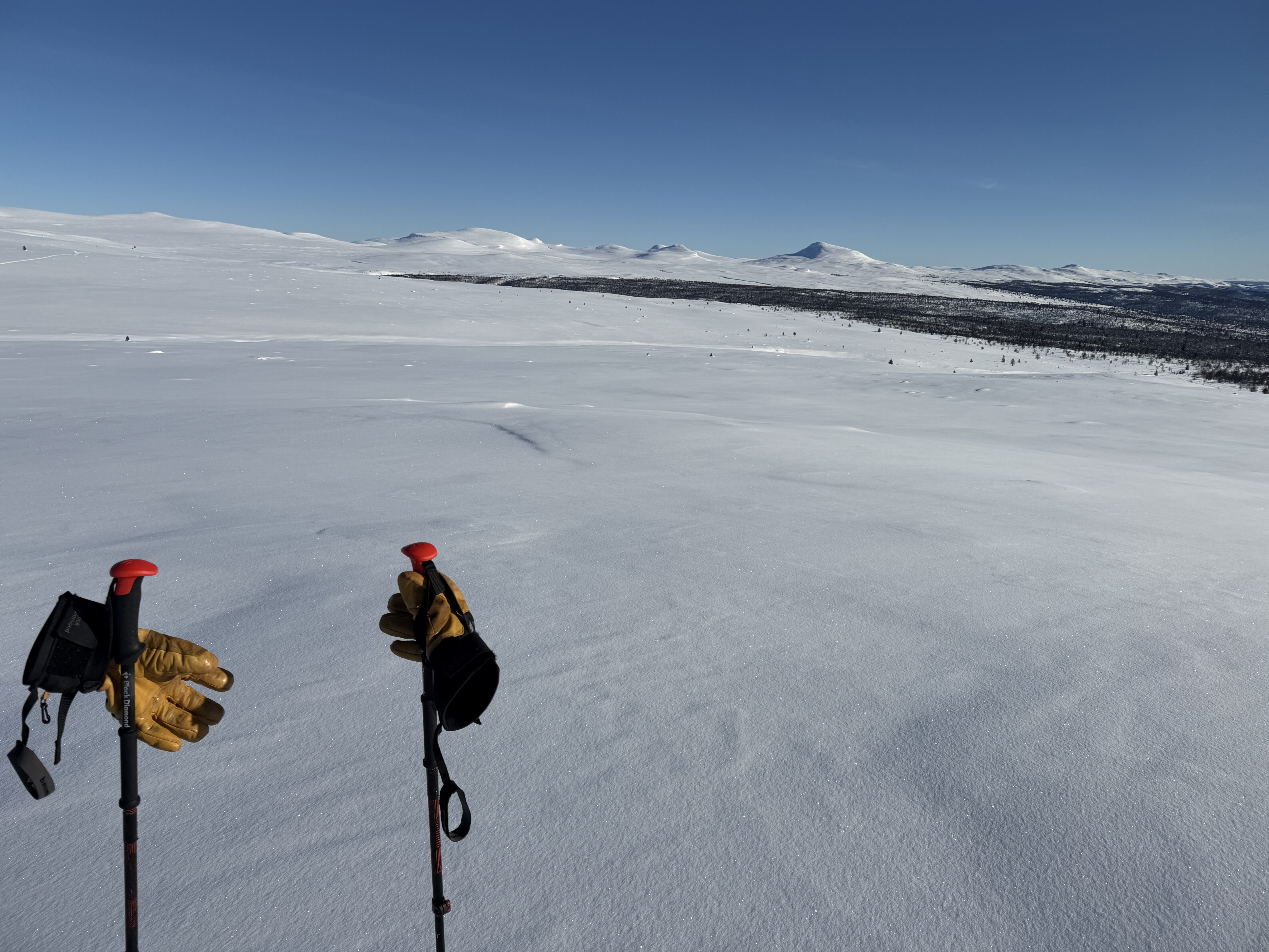
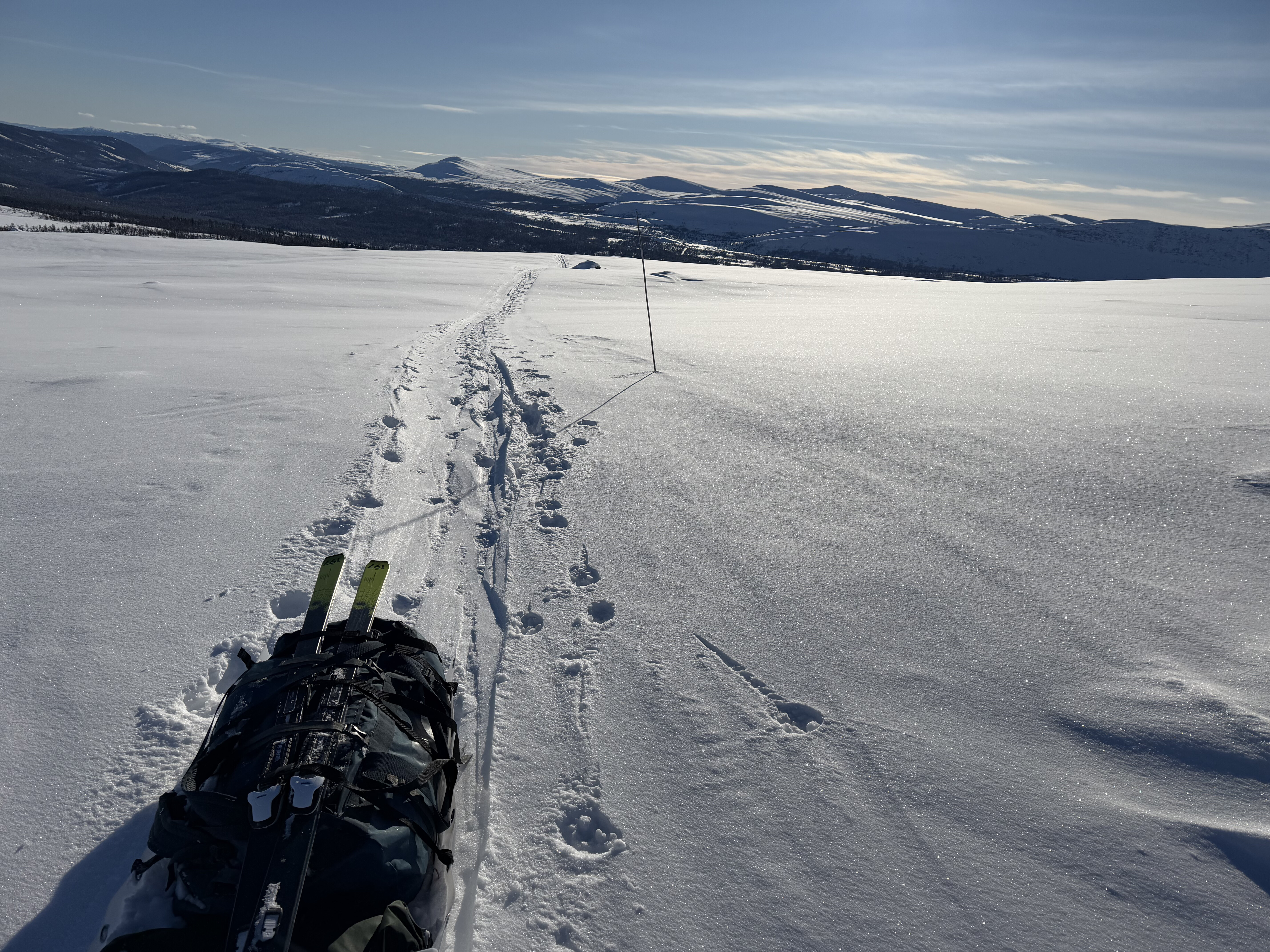
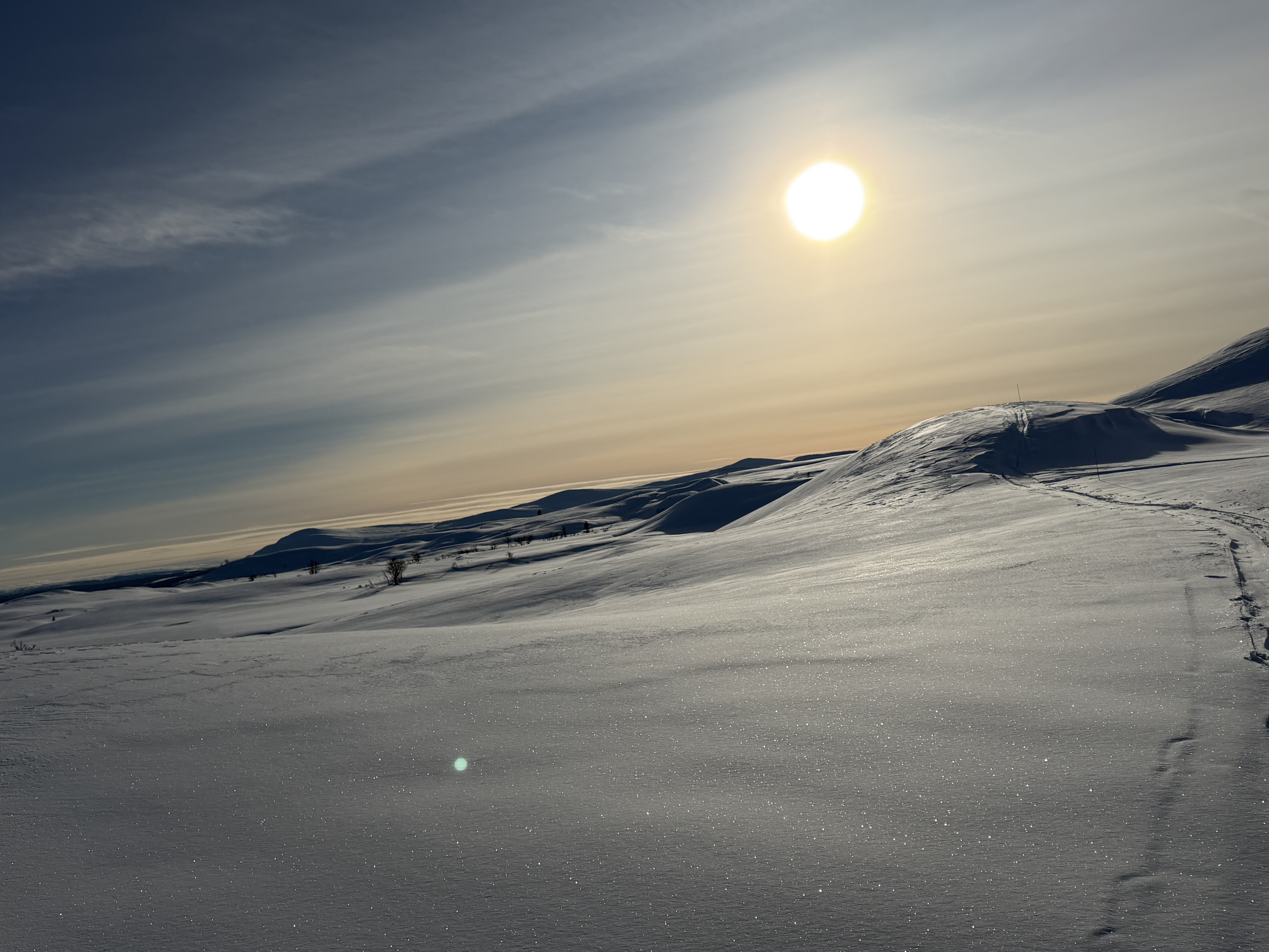
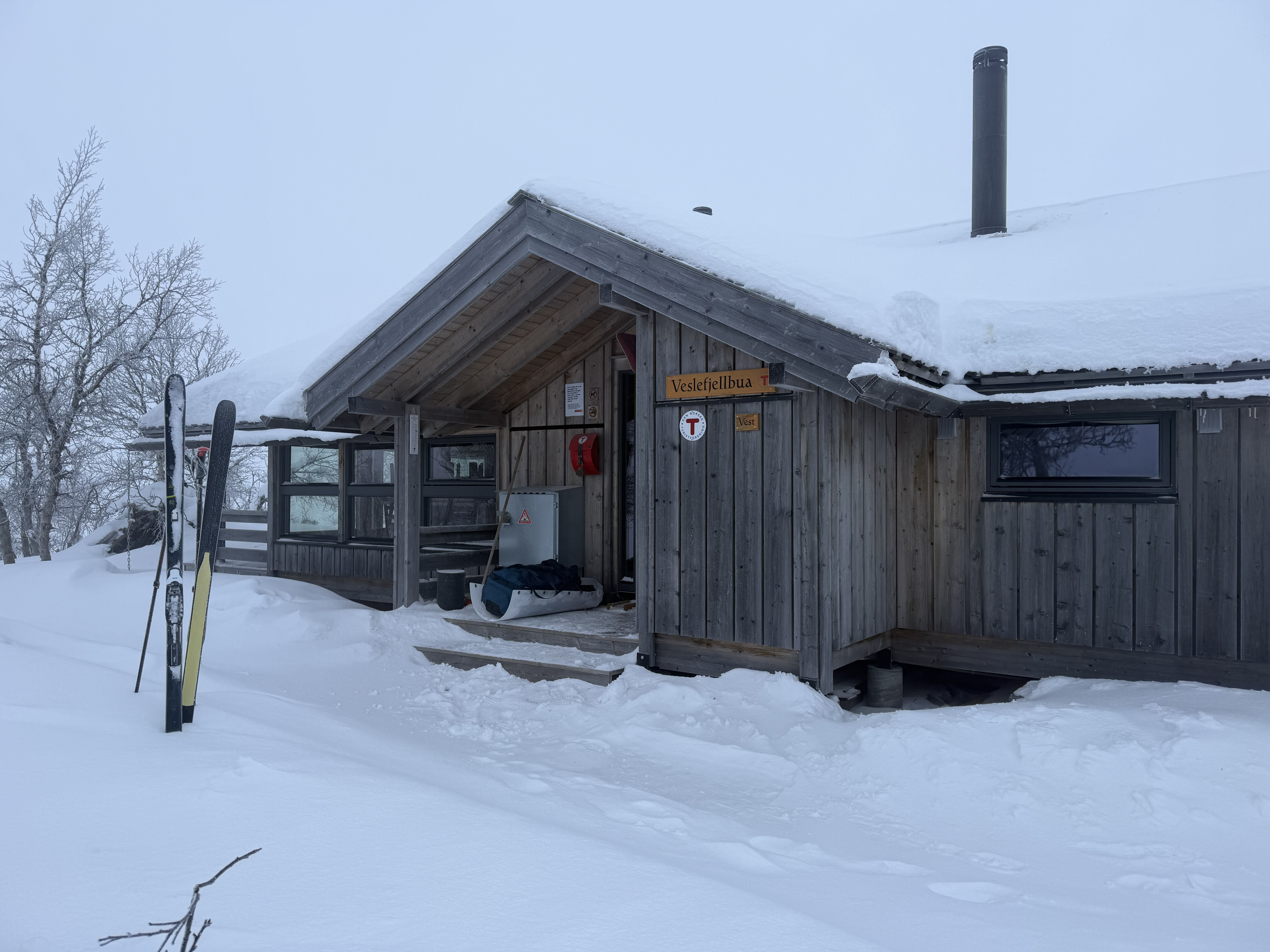
I passed a DNT hut at Eldabu but it was still too early to stop, I wanted to make the most of the fantastic conditions so I pressed on until it began to get dark as around 5pm. As I reached the outskirts of Venabu I was back on groomed trails as this is another very popular ski area and my pace picked up as a result. I did another few miles before arriving at a DNT hut at Veslefjellbua where I called it a day - it was around 7:30pm and I’d covered 25 miles. I’d not seen another person all day and felt pretty isolated at times but that is what I love about these landscapes – I love the wildness and remoteness of the landscape and it had been a perfect day.
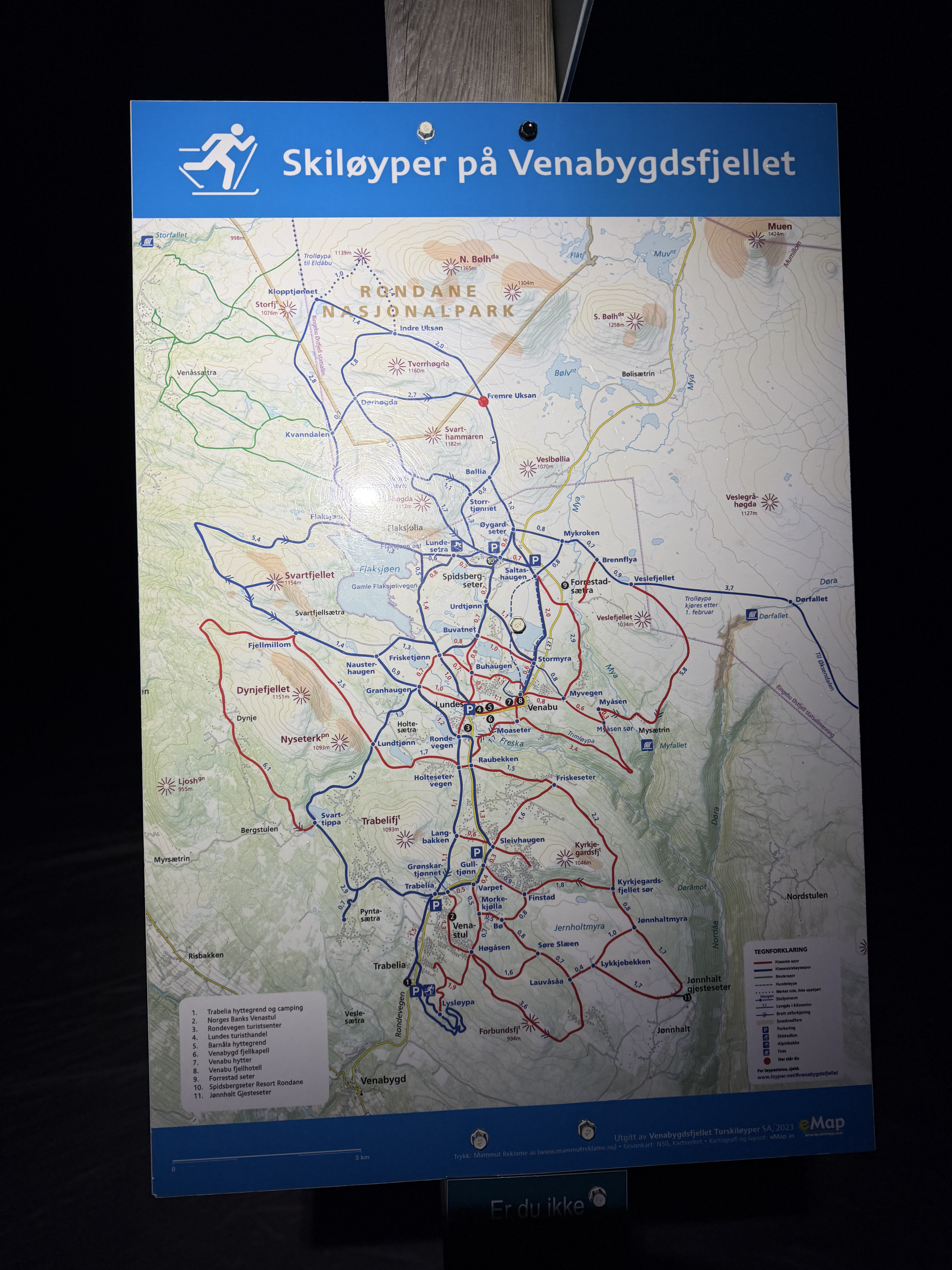
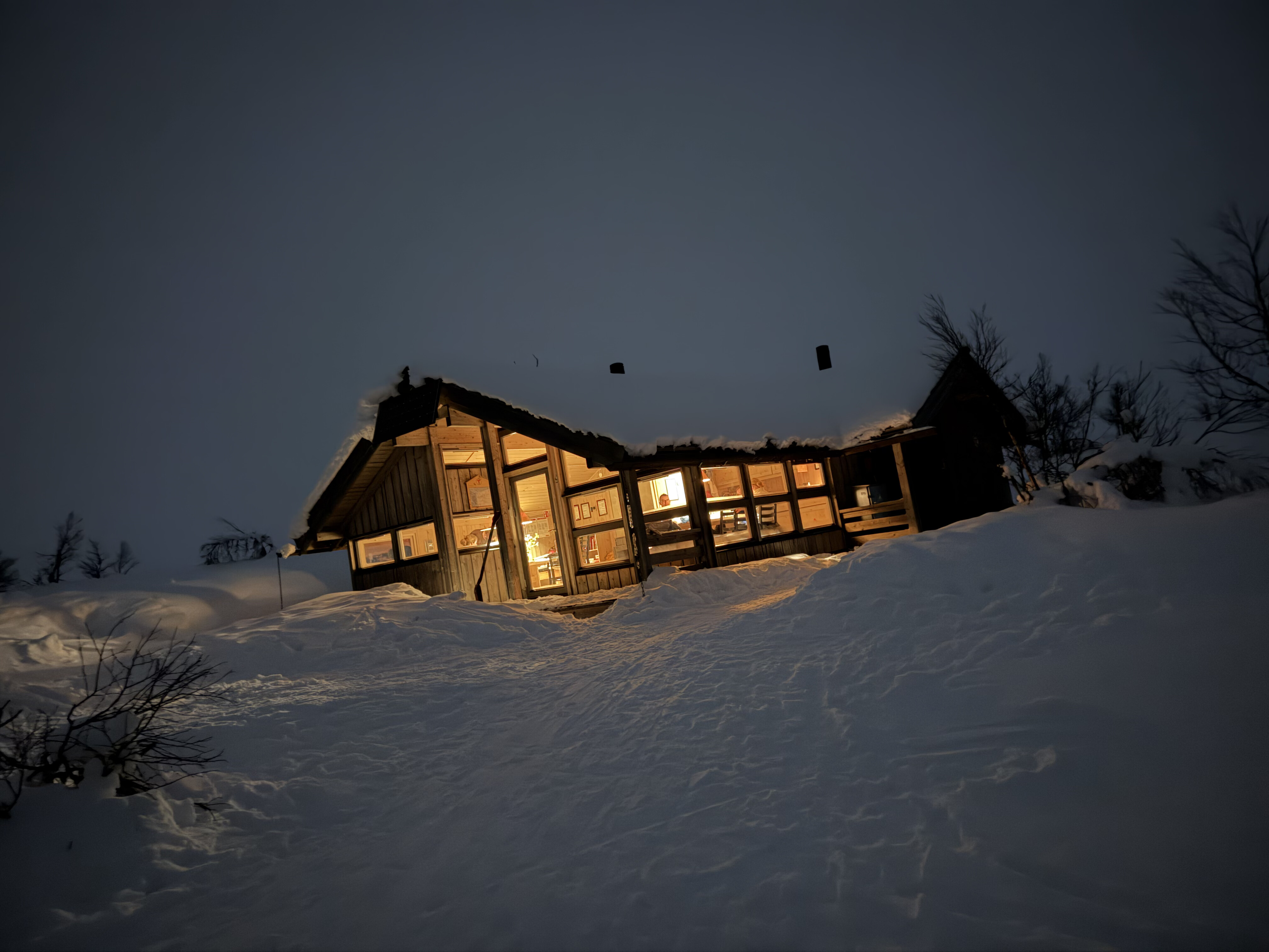
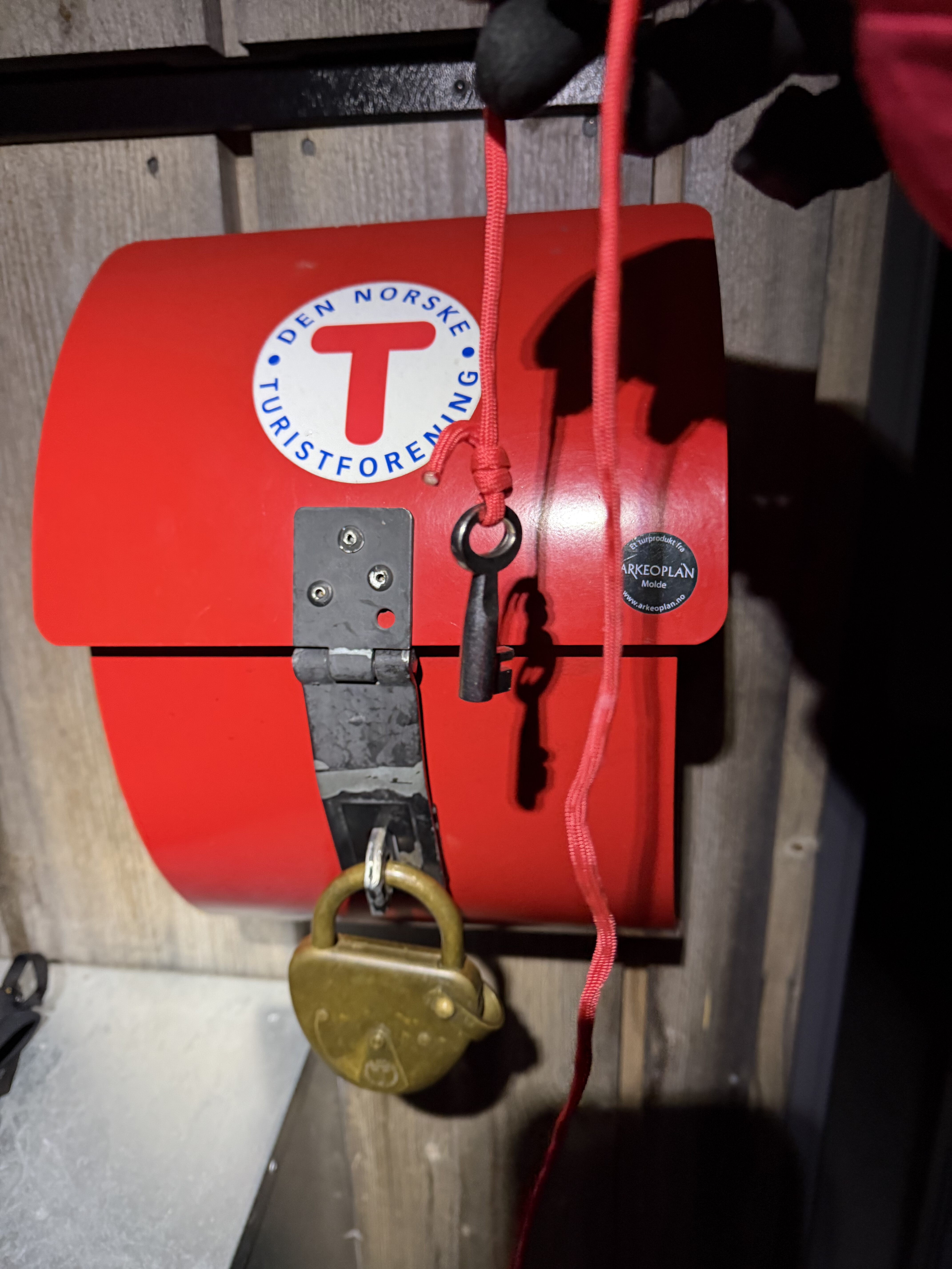
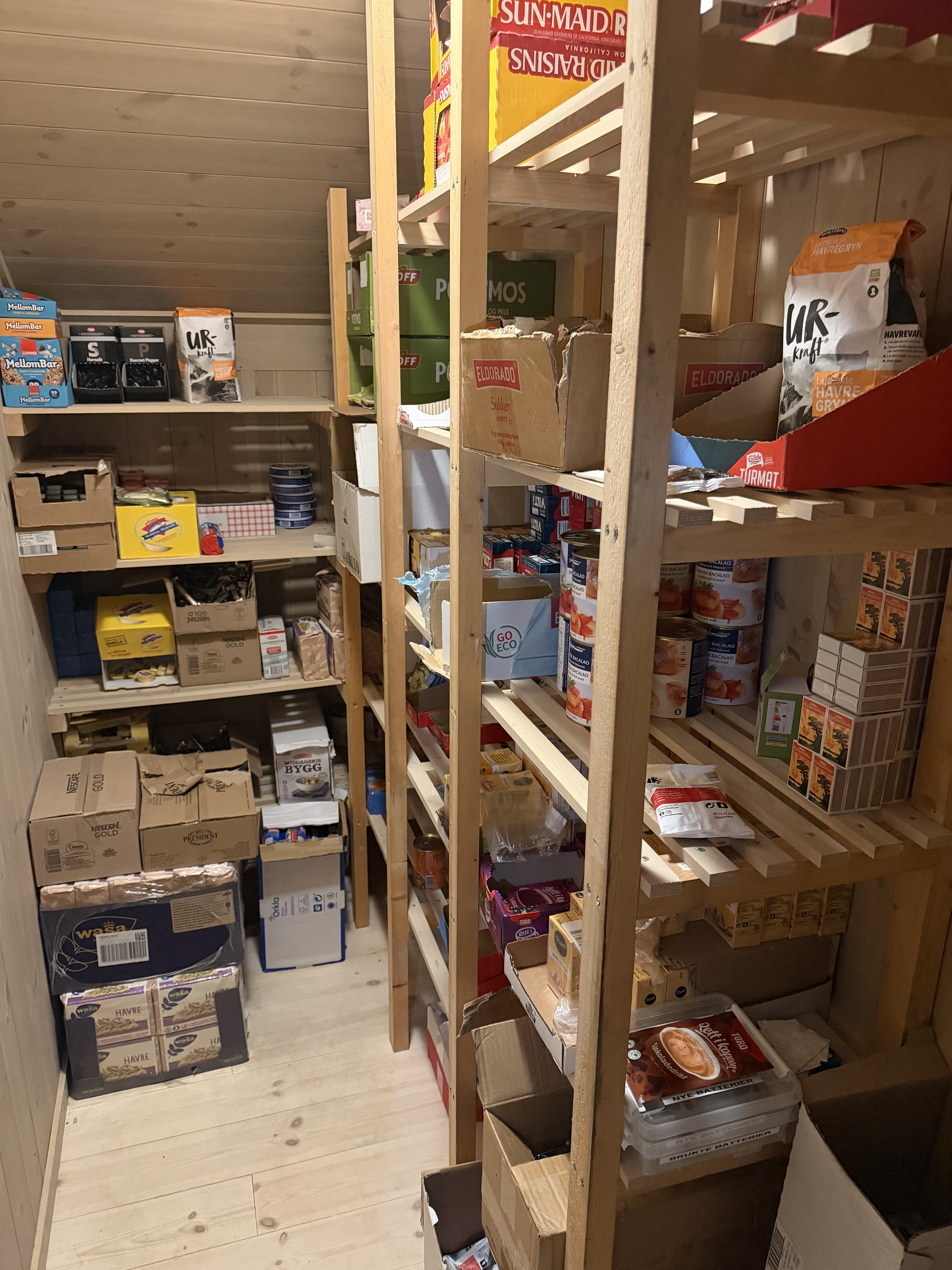
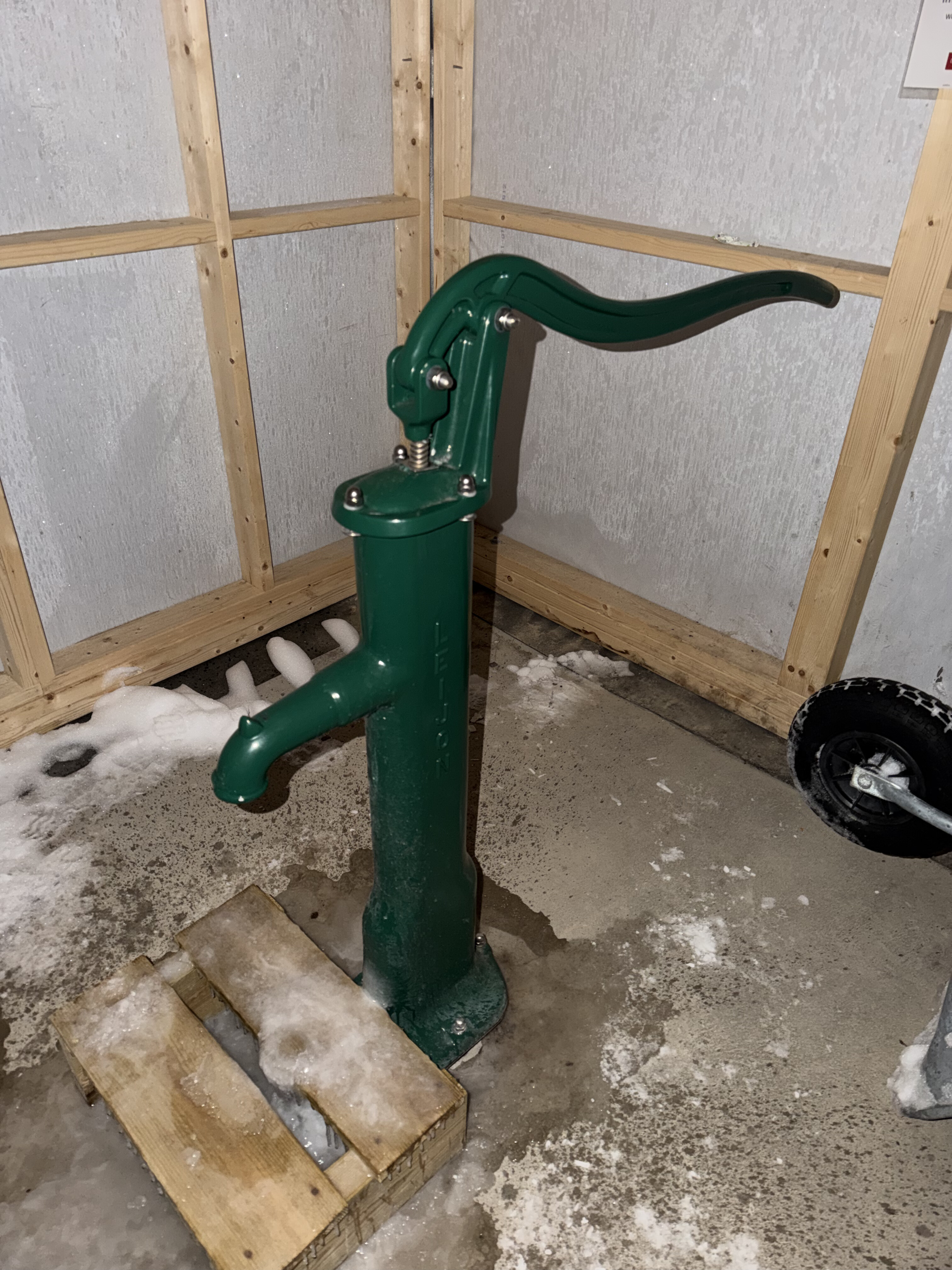
There were 2 large cabins, one of which was occupied but the other was empty so I let myself in with the DNT key and I had the place to myself. I chatted to one of the guys from the other hut who gave few a few pieces of useful information. The first was another app which provided details of the local trail and conditions called Loyper (I’d also used another paid for app called Sporet). Crucially it covered the area I was now in. The second piece of information was that a snow machine had recently been over the section I would be traversing the following day so progress should hopefully be faster as I’d have a trail to follow.
Day 2: Venabu - Ringabu, 17 miles
It had snowed overnight so instead of being greeted by a nicely groomed track I was instead presented a snowblown one with merely a series of stick markers to guide me. It was also pretty windy so I had to wrap up and make sure all extremities were covered.
I’d hoped to do about 28 miles today which would have taken me to another cabin, but it quickly became apparent that I wasn’t going to be able to make it that far. The wind was slowing me down, and it was hard going on the trail. Not only was it covered in fresh snow, there was also a significant amount of drifting and despite the branch markers it was difficult to tell where the trail actually was. Even when I was on it the deep drifting snow made progress slow and arduous. A mile in under 30 minutes was a good one, and some took me over 40.
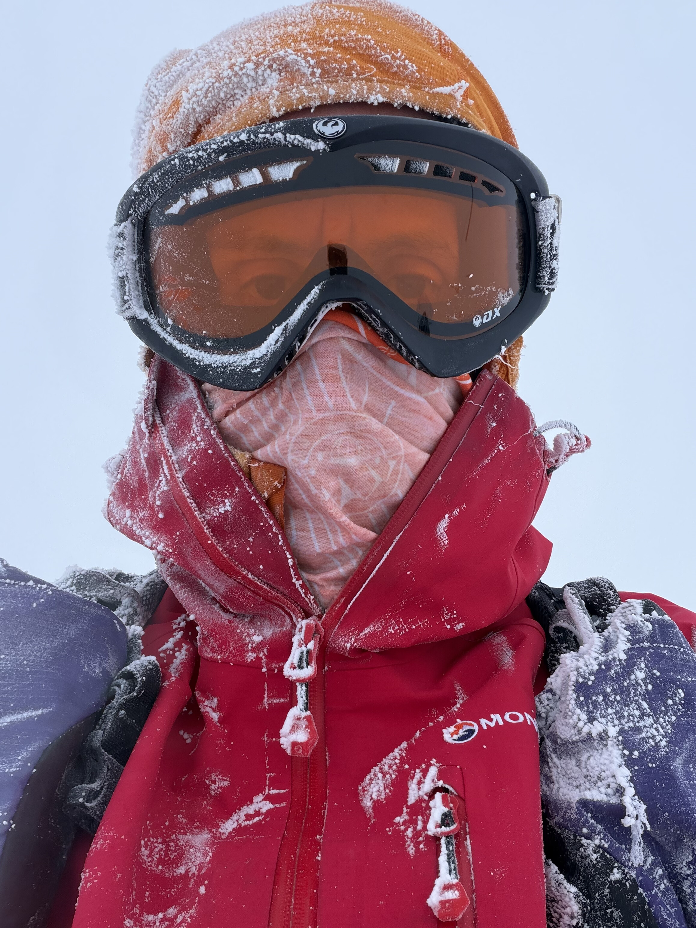
Because of the low light and clag it was also incredibly difficult to ascertain distance and perception. It was a whiteout and there was no horizon so I had to concentrate hard to stay on track. Numerous times I would stop suddenly as I hit a climb, or stumble and fall when I reached a downhill section.
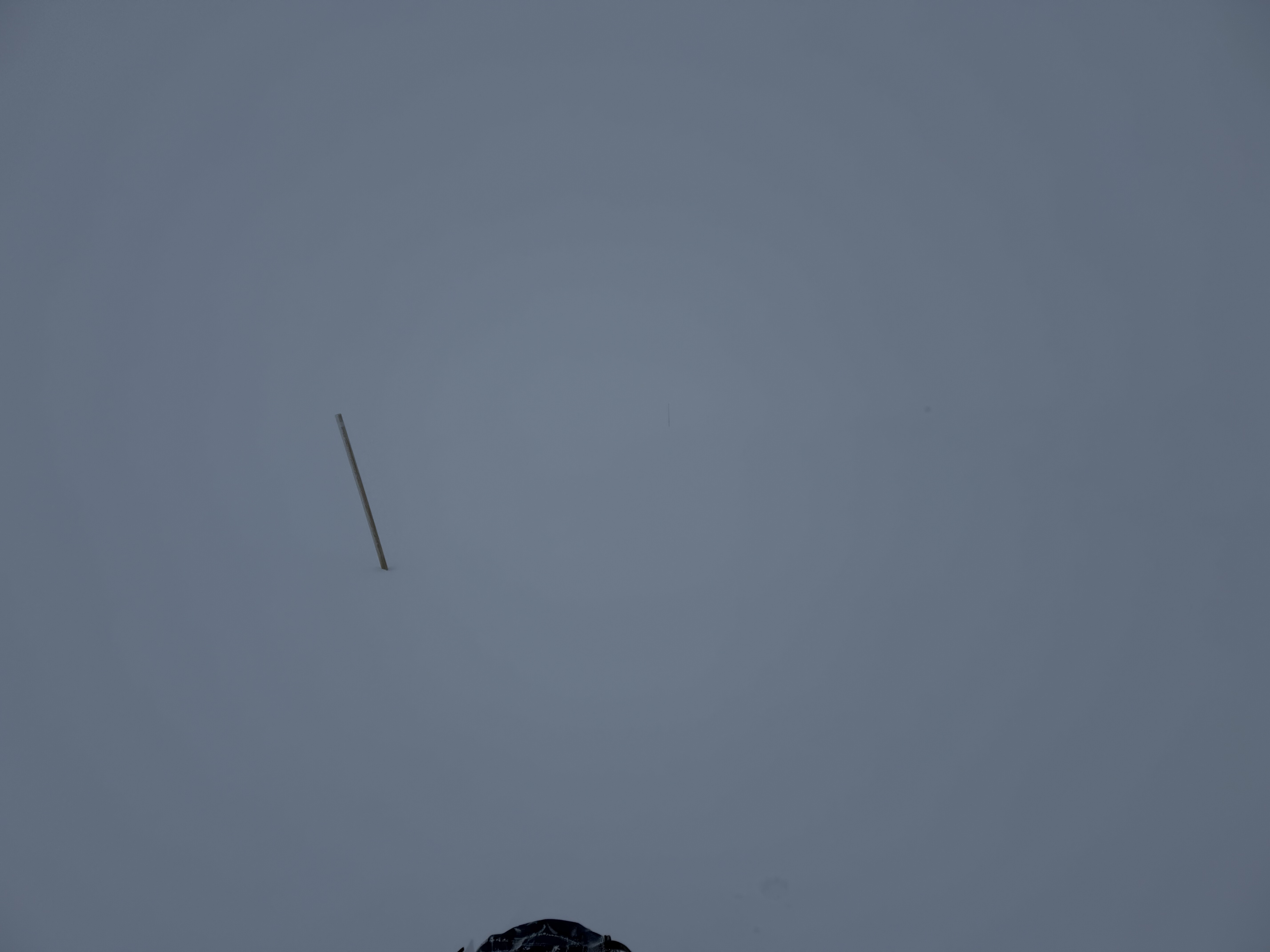
Conditions remained like this for most of the day which sapped both my energy and morale, but they weren’t so bad that I wasn’t able to make progress so I ploughed on.

There was a hut after about 10 miles but that was too soon to stop and was also about a mile off route so I vowed to keep going until it got dark and see how far I could get.
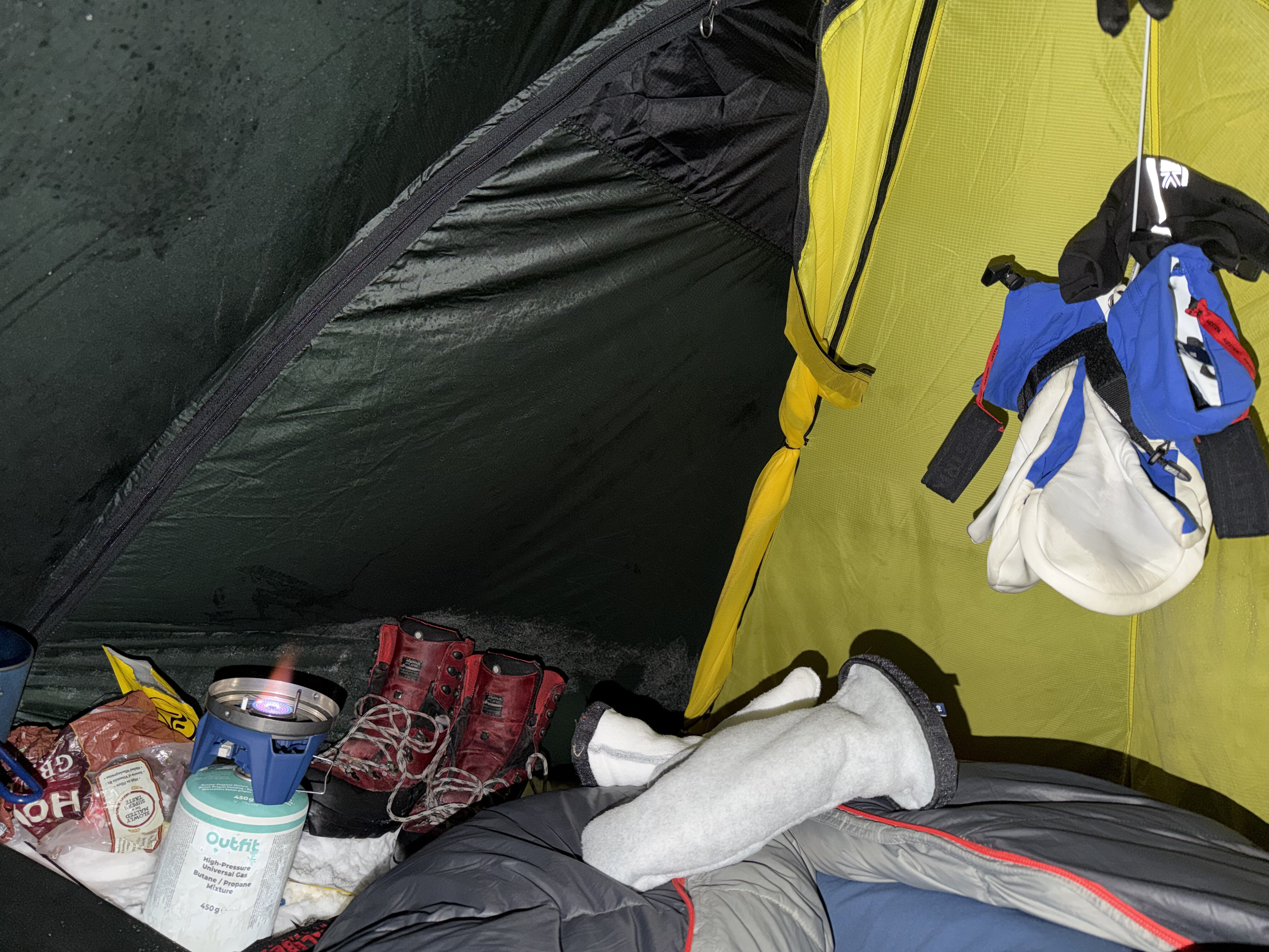
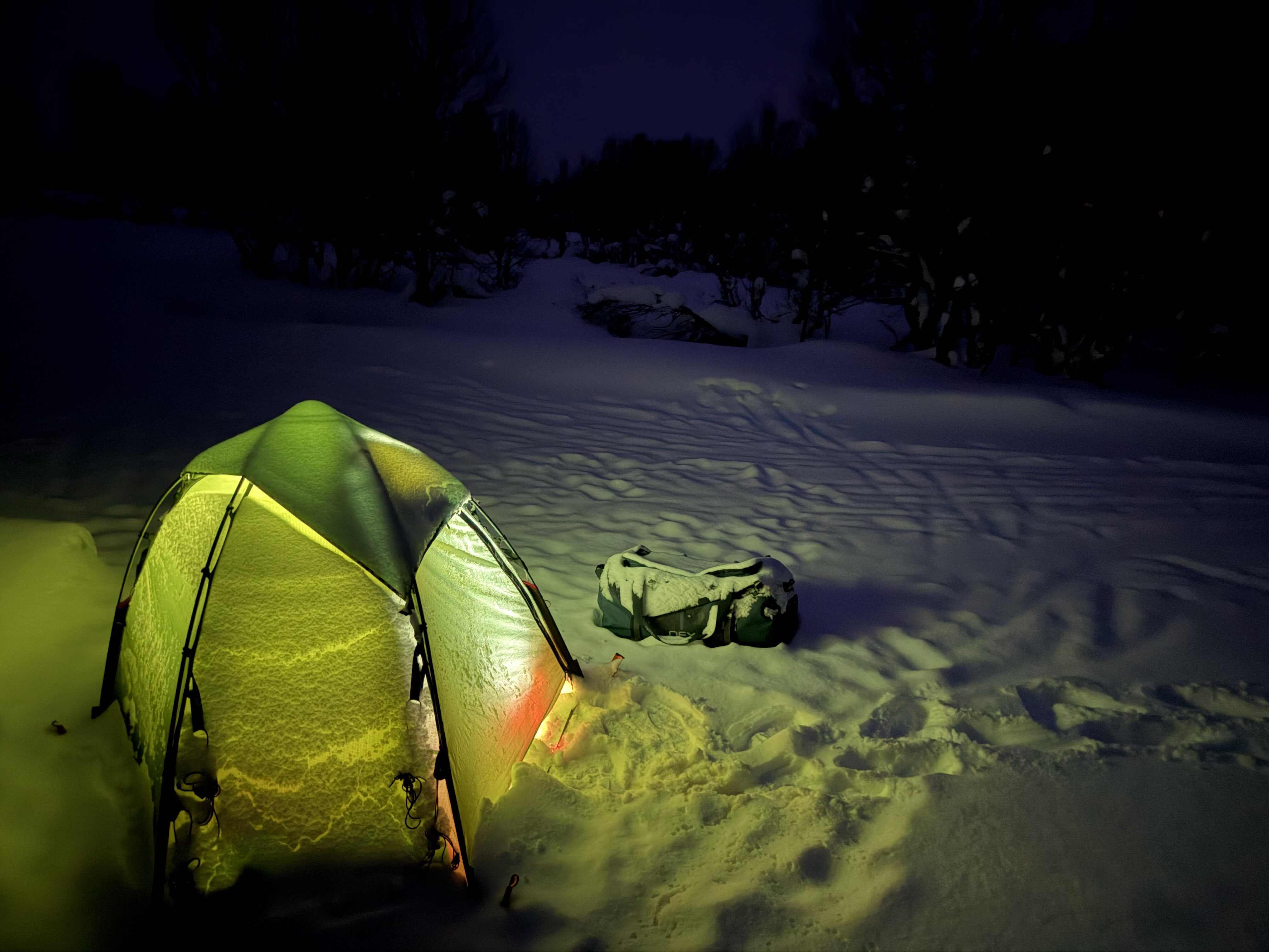
I eventually reached a crossroads in a forest which had some shelter and also some compacted snow which made pitching my tent a bit easier. I decided to call it a day after 17 miles and just over 9 hours. As I was pitching my tent I could hear the distinctive sound of animal howls which didn’t seem to be too far away – I hoped it was dogs and not wolves…
Day 3: Ringabu - Midddle of nowhere, 24 miles
I had a peaceful sleep in the tent albeit I woke up to a bit of condensation as it wasn’t that cold, maybe just below zero. I was definitely toasty in my -40 degrees rated sleeping bag.
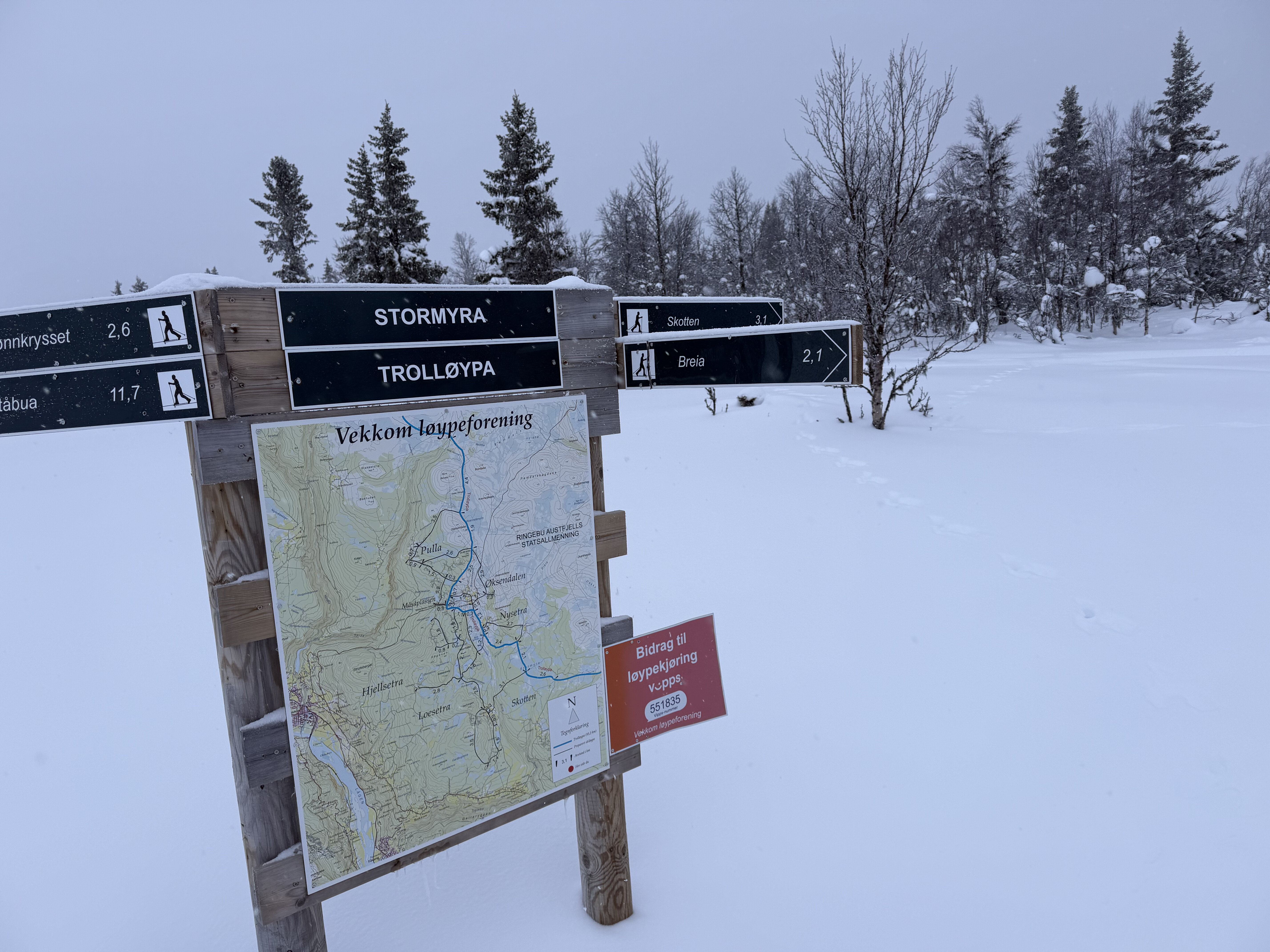
I packed up my tent and headed off on a feint trail. It had snowed a bit overnight and continued to do so quite steadily for the next 3-4 hours although thankfully it wasn’t windy. I was again greeted by the sound of distant howling which became quite constant. I was miles away from any settlement and I knew that there were wolves in the area so it was a little disconcerting but I tried to take comfort from the fact that wolf attacks in this part of the world are incredibly rare and in any case there wasn’t much I could do about it.
Because of the constantly falling snow the trail was becoming increasingly difficult to traverse and slow going and I was glad that I’d planned a few days contingency. If it wasn’t enough and I didn’t have time to get to Lillehammer then I figured that I could ski to the nearest settlement and get a taxi from there but hopefully it wouldn’t come to that. I also had my Garmin InReach in case of emergency, although I was unsure whether any help would arrive before a pack of wolves had the time to eat me.
After a few hours of yomping I was greeted by a sight that lifted my spirits on 2 fronts, a lady on a sled being pulled by a large huskies. This meant that I was in no immediate danger of becoming a wolfs dinner, and she was also going in the same direction as me so I’d have a trail to follow.
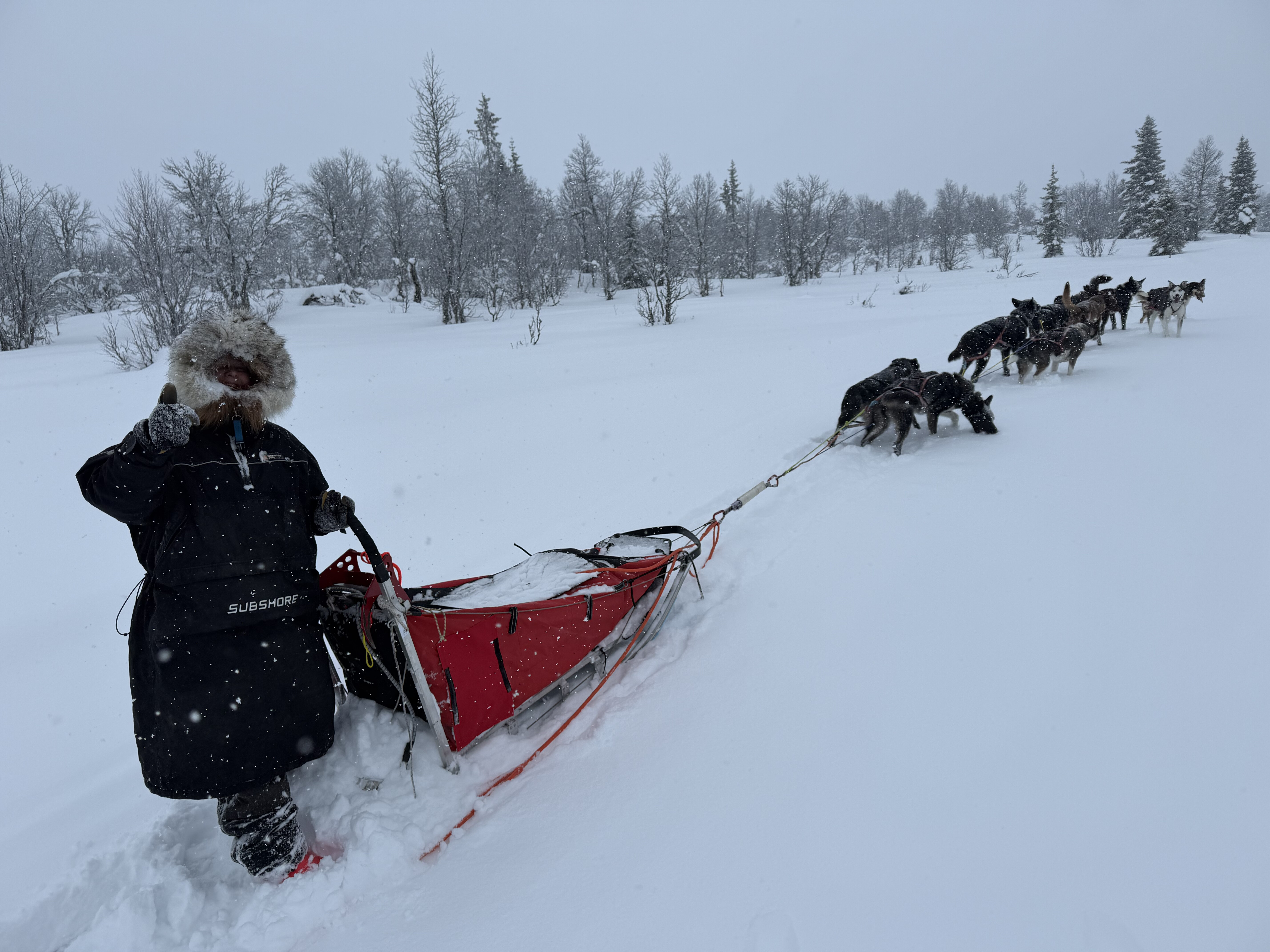
We briefly chatted before she was on her way, with me following behind significantly slower.
It eventually stopped snowing although it remained overcast. Up until now I’d not seen anyone else on the trail since leaving the groomed tracks at Mysusaeter but now I encountered a girl coming in the opposite direction weaning an enormous rucksack. She was just winging it, saying that she’s been on the trail for about a week so far and was planning on keeping going until she got sick of it, which she clearly wasn’t.
Shortly after I met a young couple towing a pulk with a small child in it - they were out for a weeks holiday, camping along the trail.
I reached another cabin at ****. This was the one I’d originally hoped to get to the previous day. I popped in for a short break but it was too early to stop for the night so I pushed on.
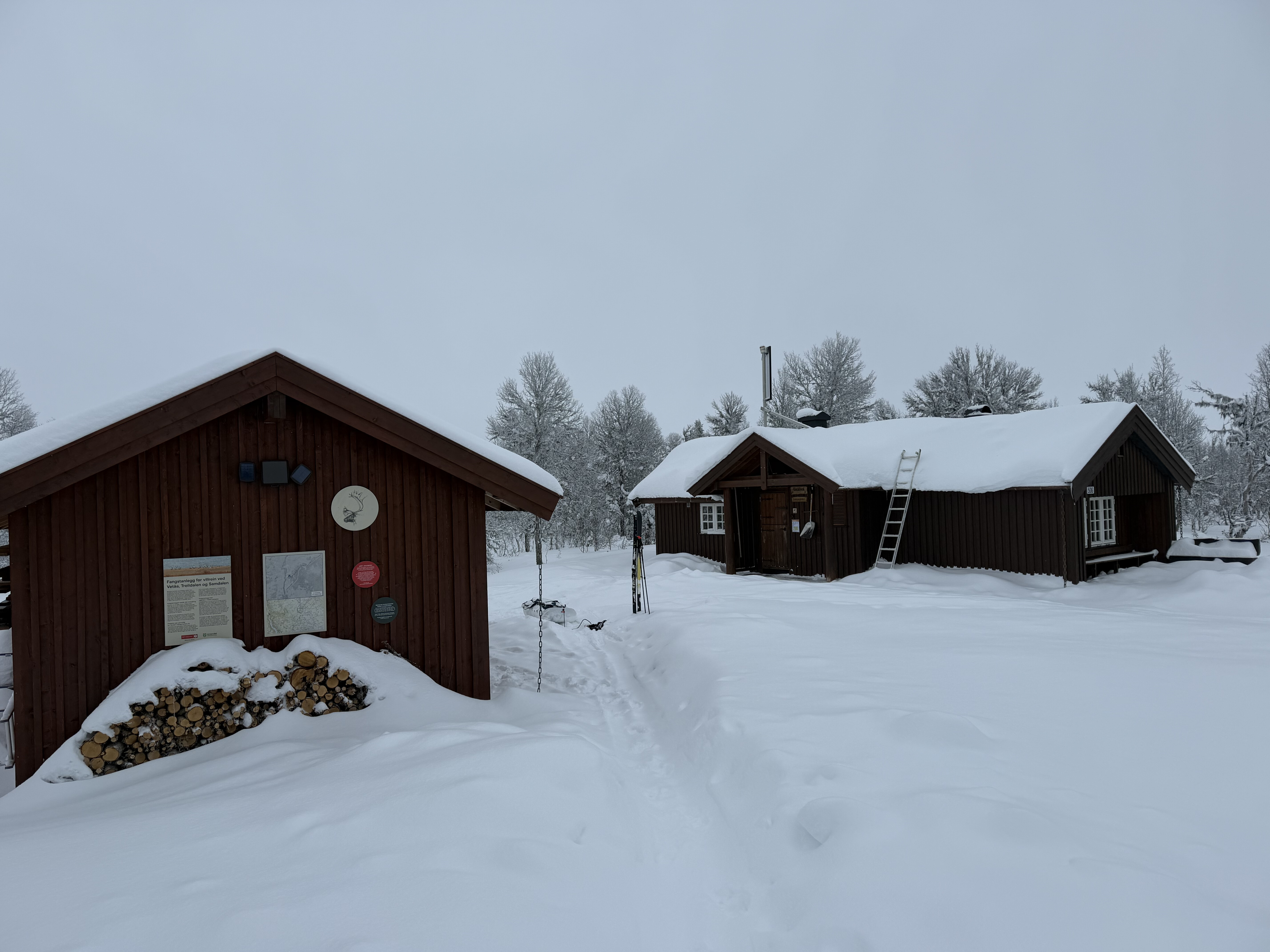
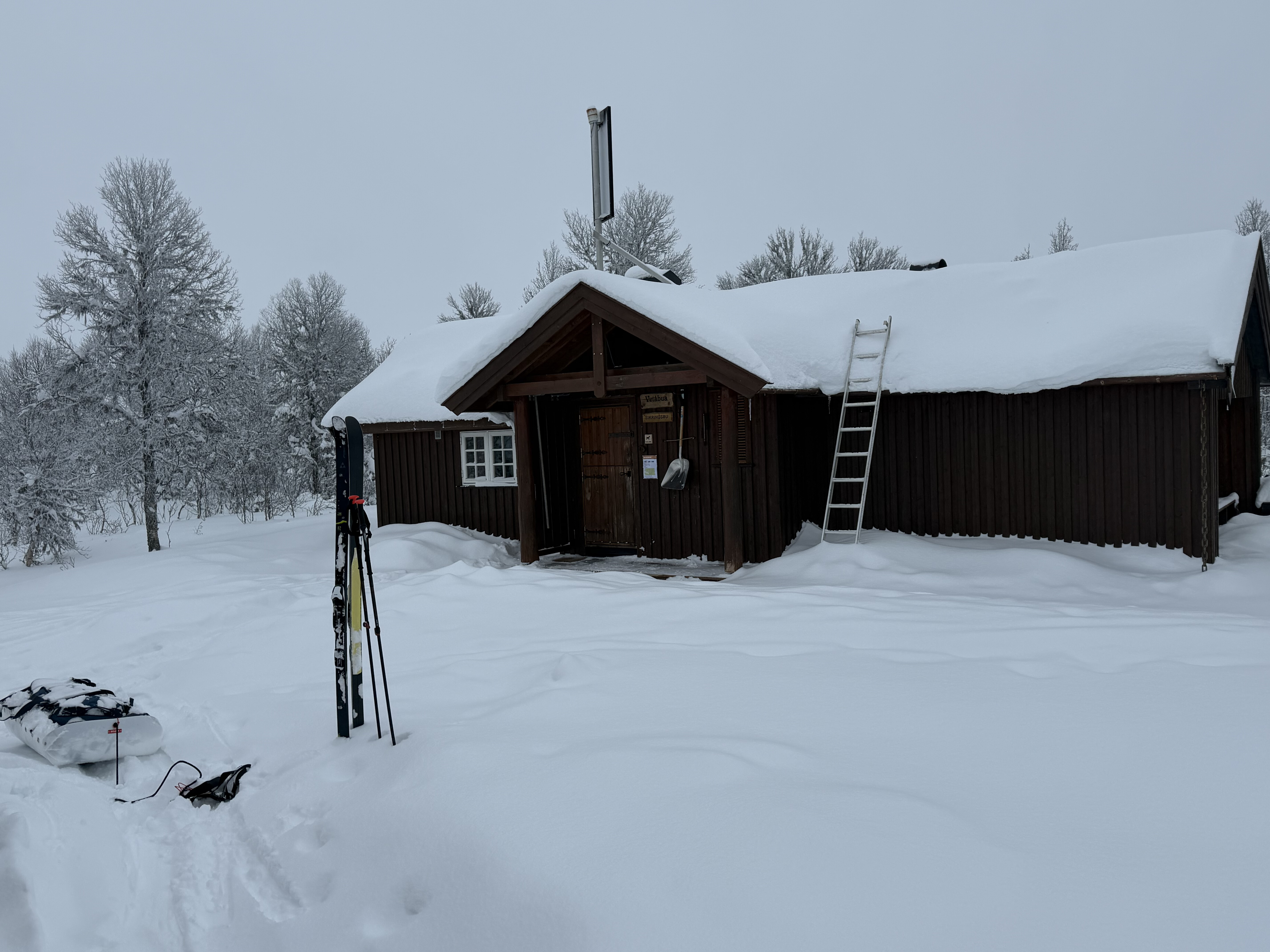
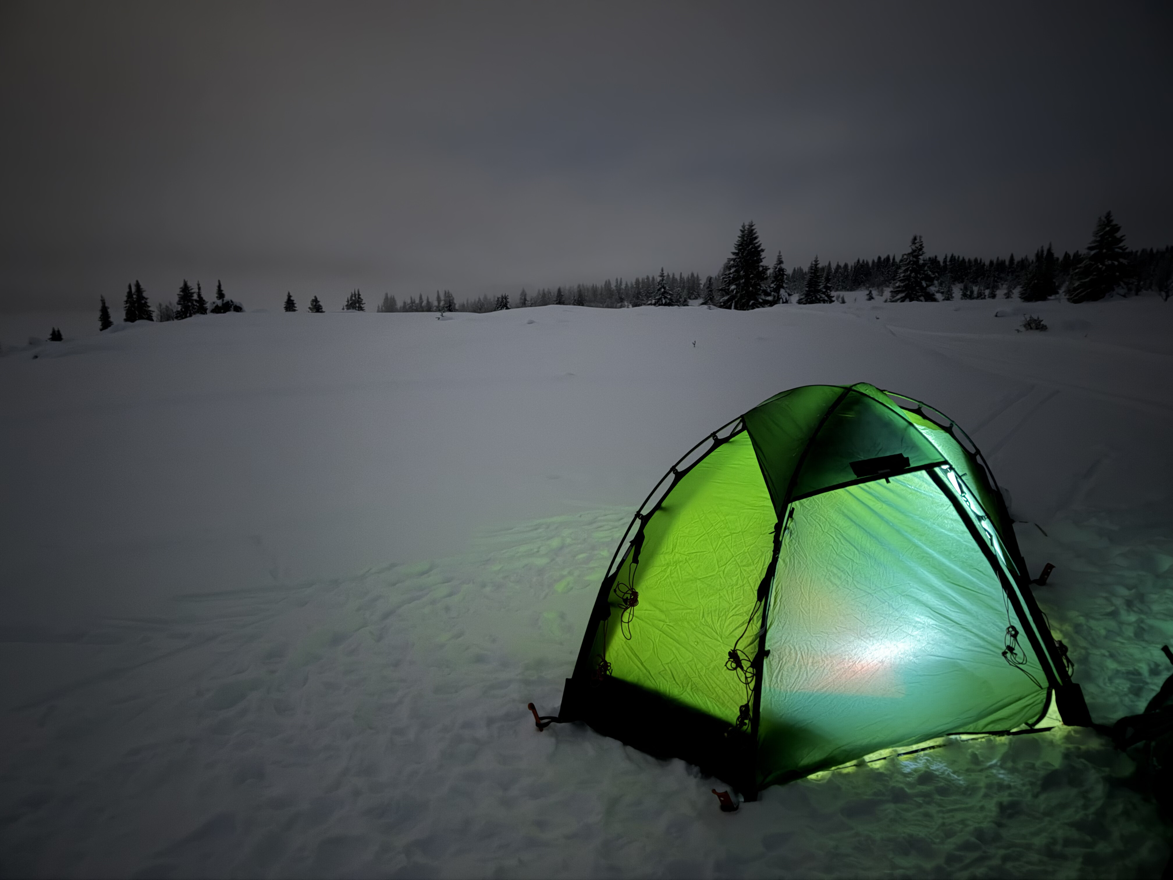
I was making faster progress now because of the improved trail conditions but the next hut was too far to reach so I decided to just keep going until I felt tired and then look for a decent spot. I ski-ed a bit into the night and then I found a decent spot at a track junction on the edge of the Susjoen ski area.
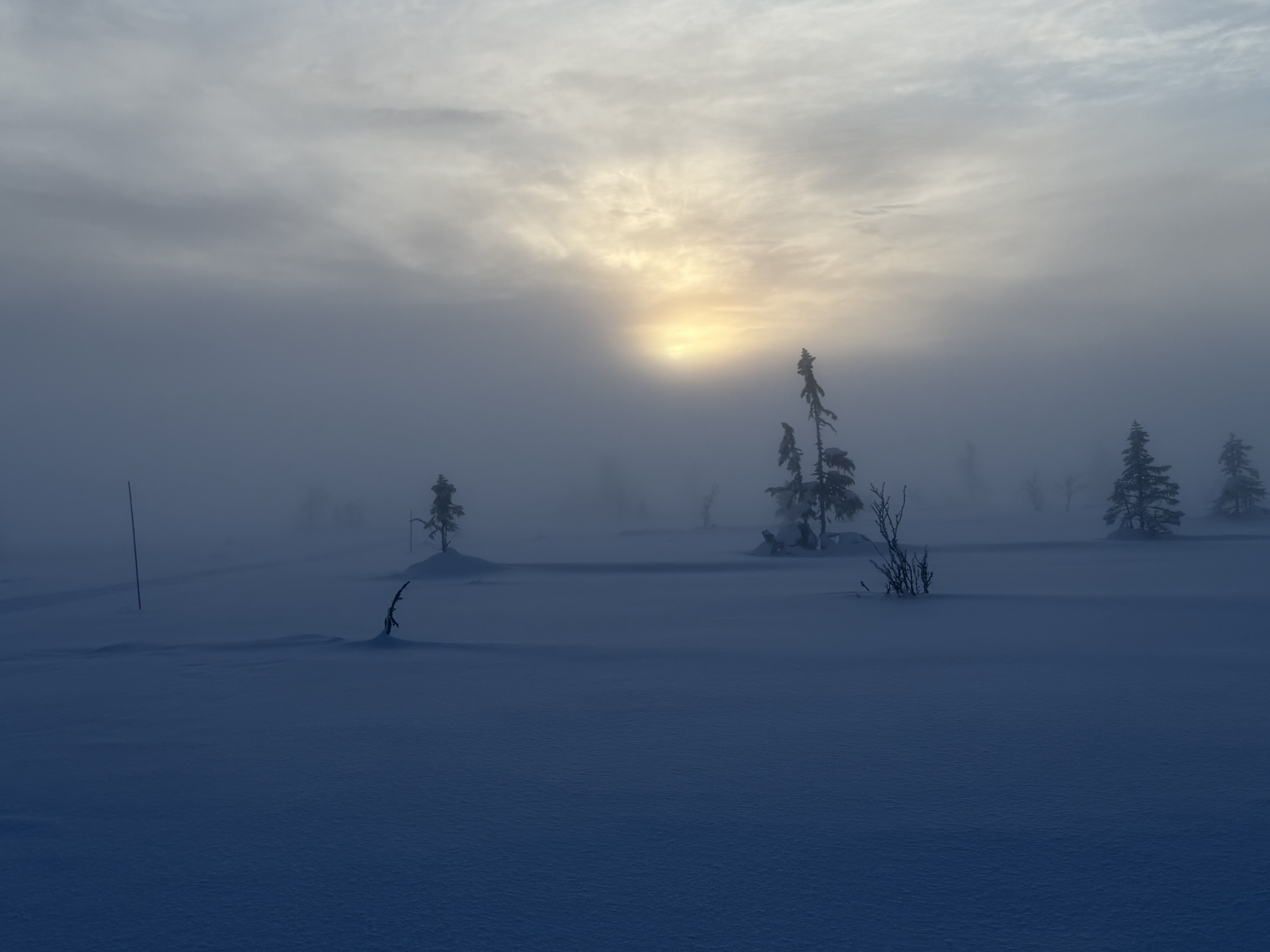
Day 4: To Sjusjoen, 15 miles
The ambient temperatures were above zero the following morning – there was no frost on the tent and a significant amount of condensation which coated everything inside the tent.
As I was packing up to leave the piste machine arrived which meant that I was now back on groomed trails for the first time since leaving Mysusaeter.
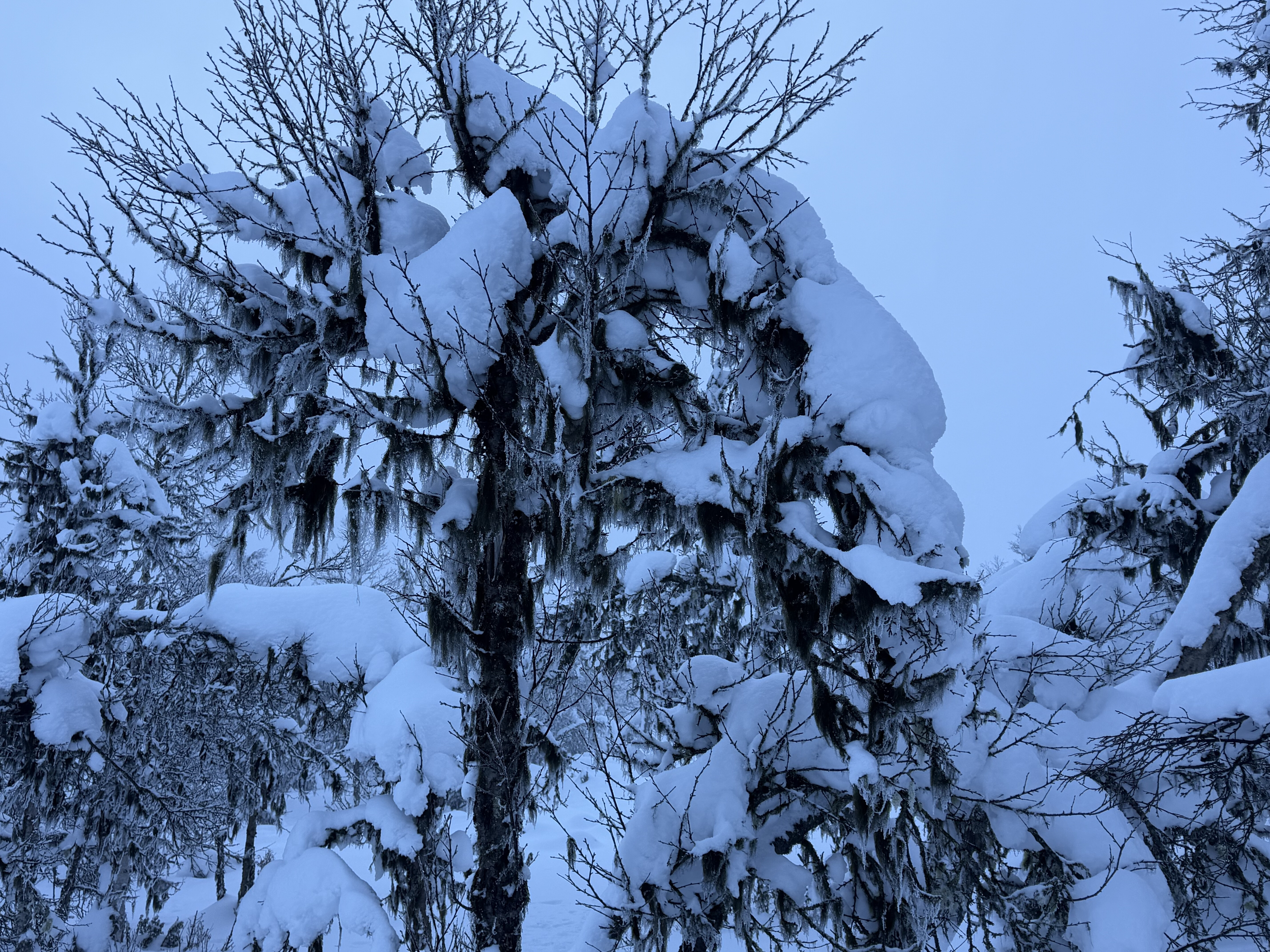
It was again quite overcast, but calm and warm. My original plan had me getting to Sjusjoen the previous night – I was about 15 miles away so hadn’t done too badly.
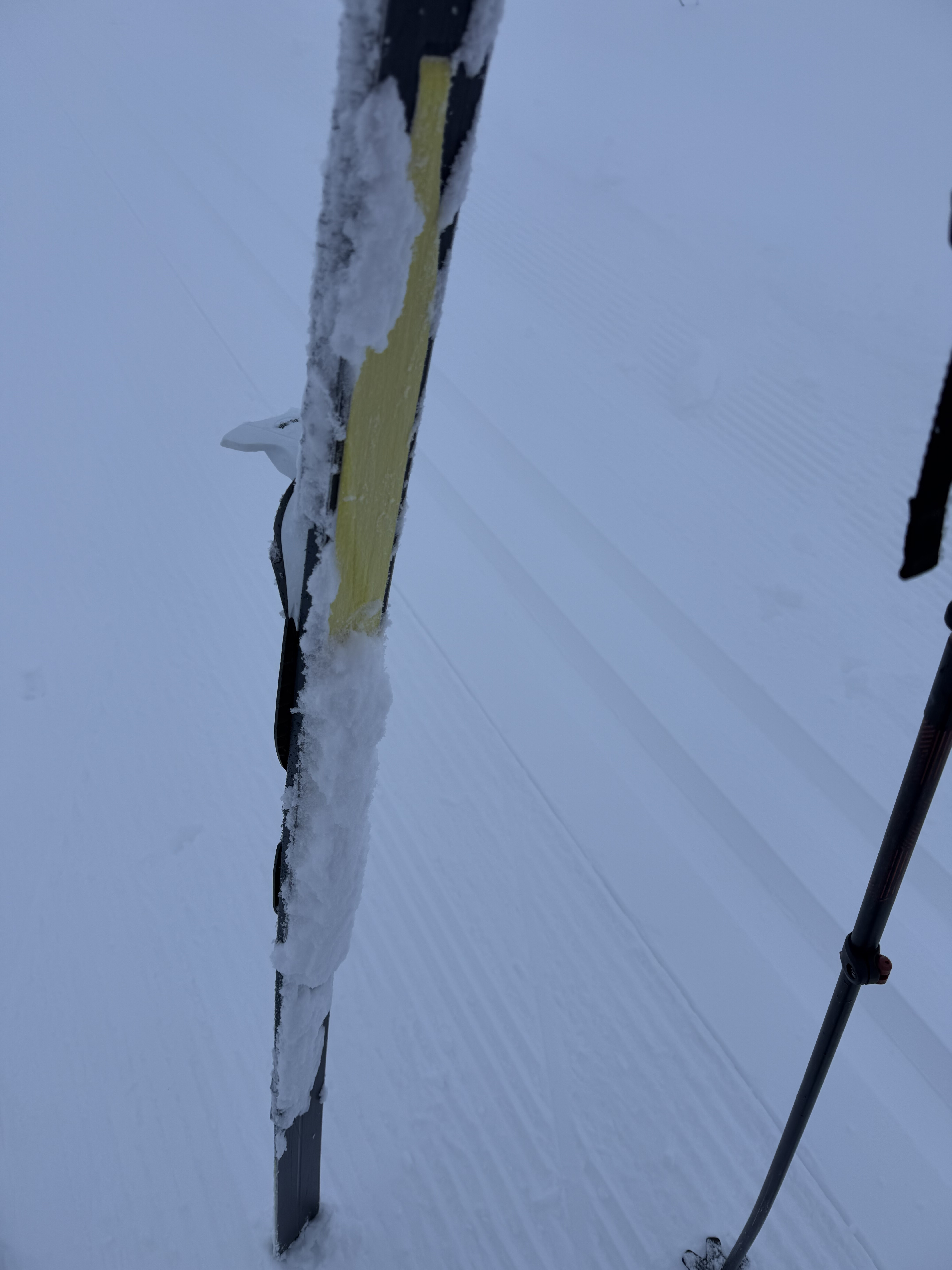
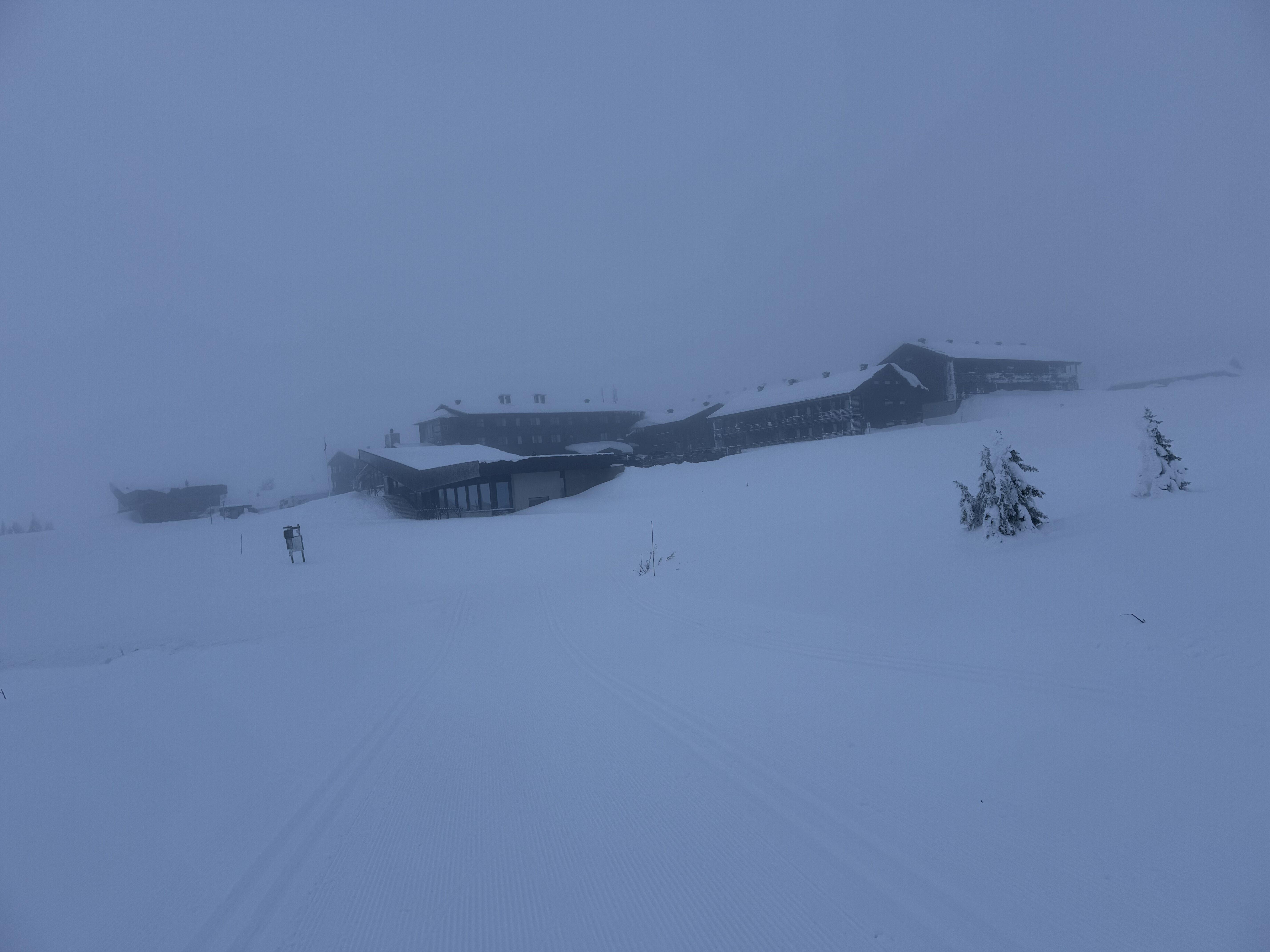
There was a definite change in ambience now – from seeming like I was the only person in the world for the previous 3 days I was now seeing people on a much more regular basis. I passed an enormous ski Lodge at Pellestova before ski-ing next to a picturesque lake for a few miles.
There was then a quite sustained climb to one of the highest points around, although sadly it was still overcast so there was no view.
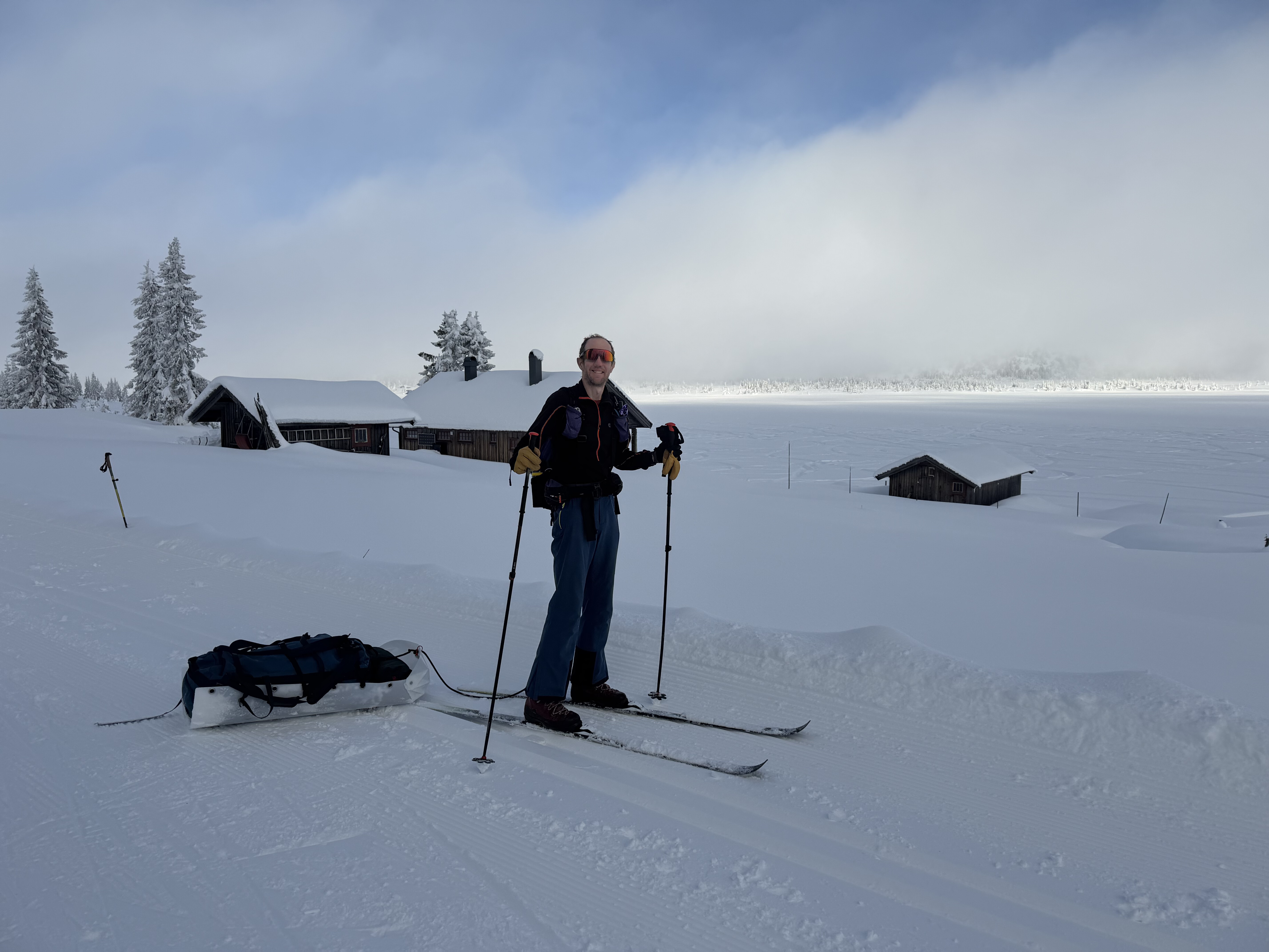
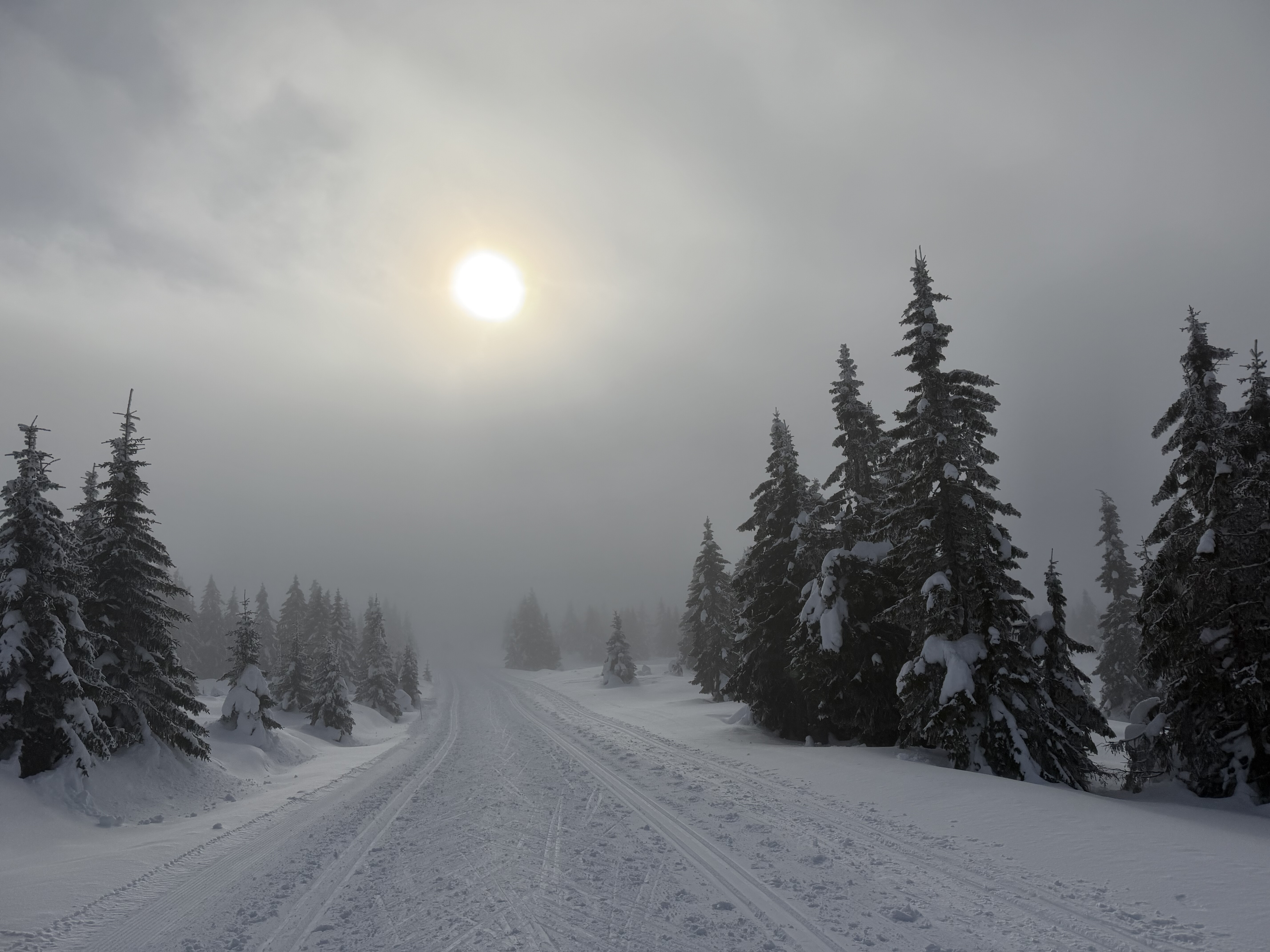
It was only a few miles into Sjusjoen now, all downhill. It didn’t look too steep on the map, but the map doesn’t show you any small steep ramps, which there are many of in the area, nor sharp turns where it might be difficult to control the pulk. It was very misty which didn’t help as I couldn’t see very far ahead.
This made descending very tricky as I was very conscious that I didn’t want to build up to a speed at which I’d be unable to stop.
I was just about managing it when I got to a small steep section. Whilst I was just about able to control myself not being hit by the pulk, I had limited control of where it was going. I spotted a lady ski-ing up in one of the tracks and my heart sank when I realised that my pulk was heading straight for her and I was unable to stop it.
It careered straight into her, knocking her to the ground and I somehow managed to stop myself without falling over. I must have apologised a hundred times, I felt awful but she seemed to take it well and just wanted to get on her way.
After this I decided it was too risky to ski the pulk down the rest of the hill so I just walked it down.
I had booked a cabin in Susjoen for the next 2 nights so I picked up the key and made myself at home. It was only about £65 per night and it was amazing how much you get for the price – a fully detached rustic log cabin to myself with bedroom, living area, bathroom, shower and central heating. Who says Norway is expensive.
I had a walk down to the enormous supermarket and sourced an overpriced plug to charge my powerbank, and also popped into an adjacent sports store which sold every piece of ski equipment you could ever imagine.
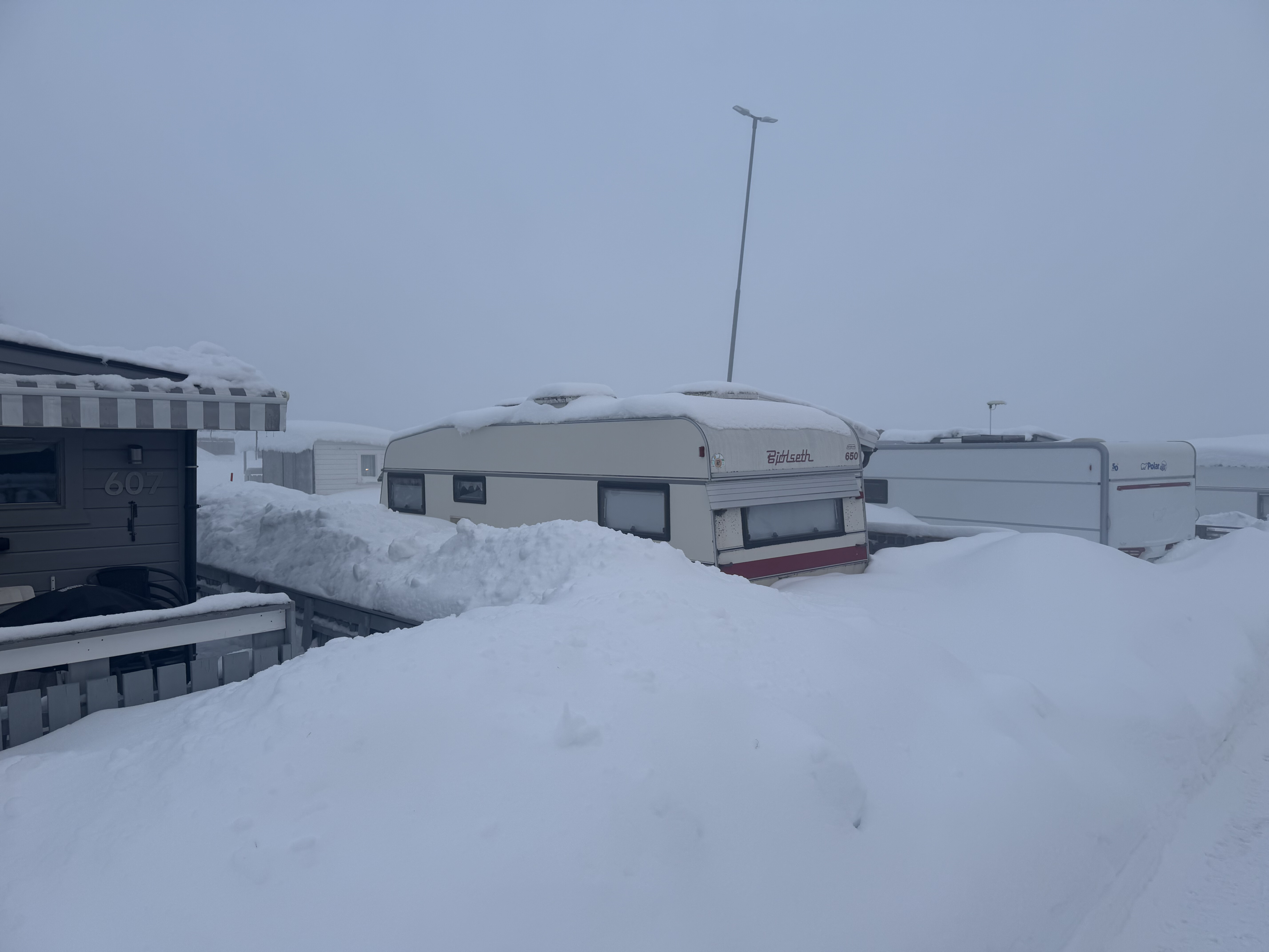
Day 5: Sjusjoen, 20 miles
I’d decided in advance that if I didn’t use my contingency day(s) on the trail then I’d spend the time in Sjusjoen – it looked like there were plenty ski trails in the area and I looked forward to exploring them.
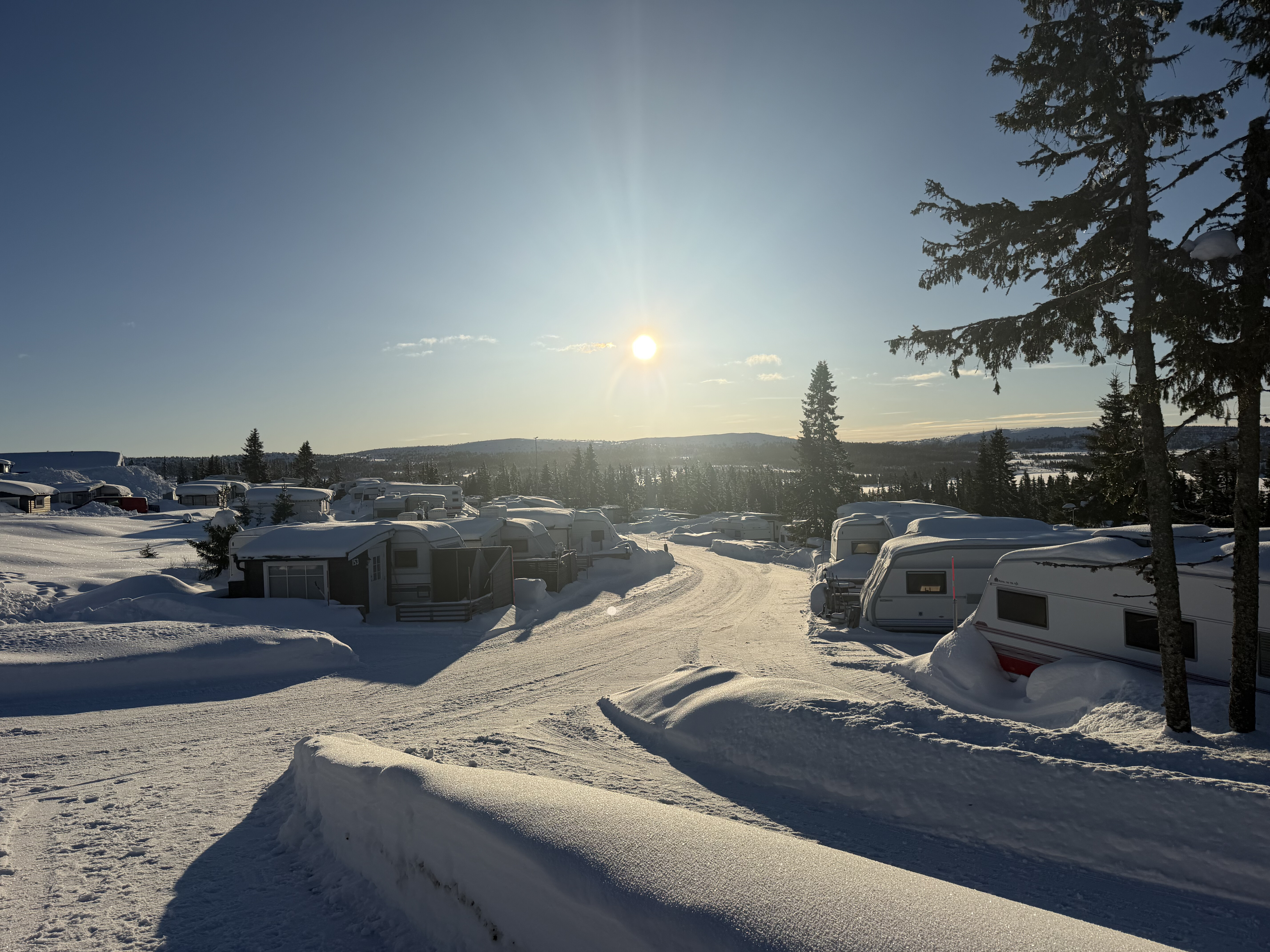
It was forecast for a bluebird day with temps hovering around freezing and no wind so perfect timing.
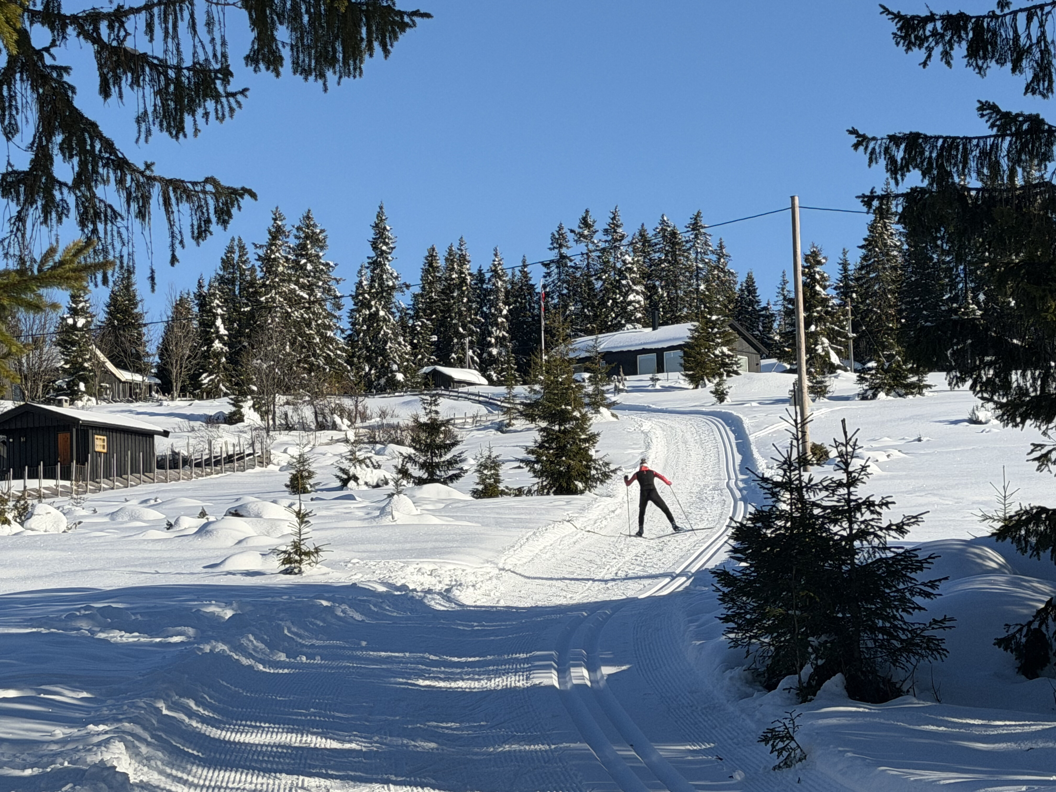
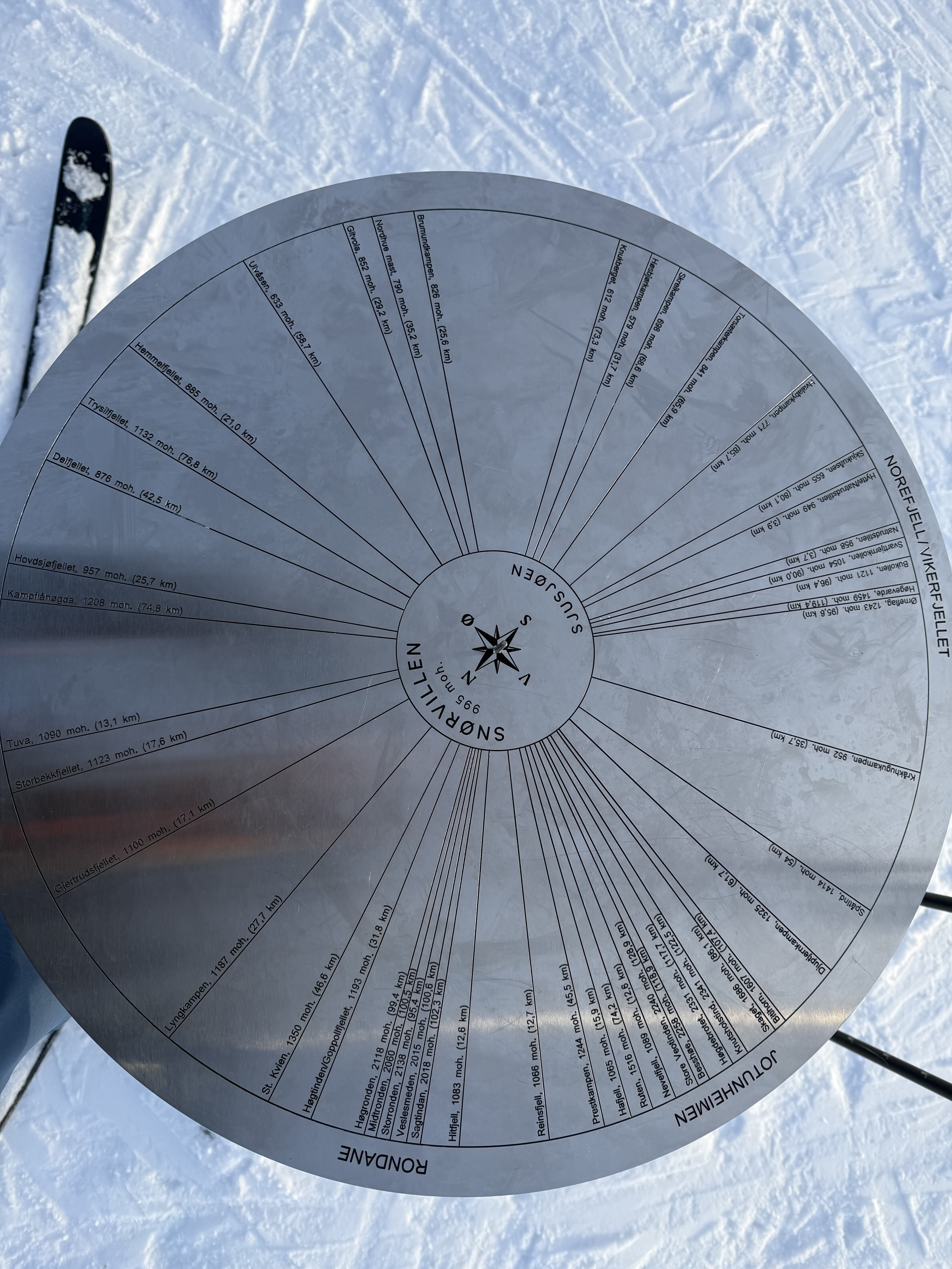
From the hut I skied a few miles on the route I’d be taking to Lillehammer for a reccie and to ascertain what it would be like taking the pulk down there. The trail hard firmed up overnight and was pretty icy in places making some of the steeper parts a bit sketchy but it was so much easier without the pulk. I then ski’ed up to the highest point in the area (Lunkefjell). I’d came over here yesterday in the clag but today it was a different world. Clear blue skies and far reaching vistas of mountain ranges as far as the eye could see. I could see the mountains of Rondane and Jotenheiman and endless forest and hills in every direction it was breathtaking.
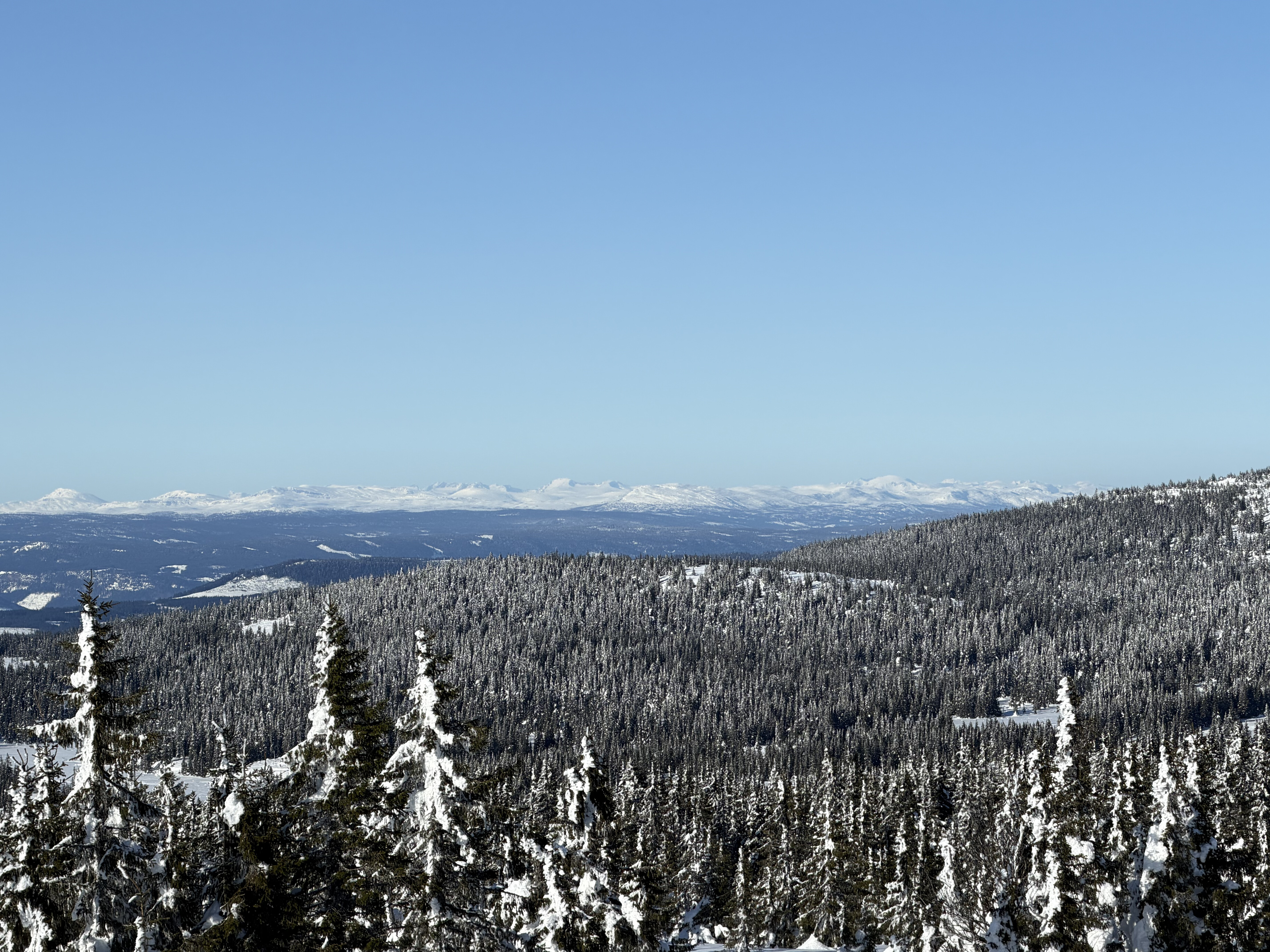
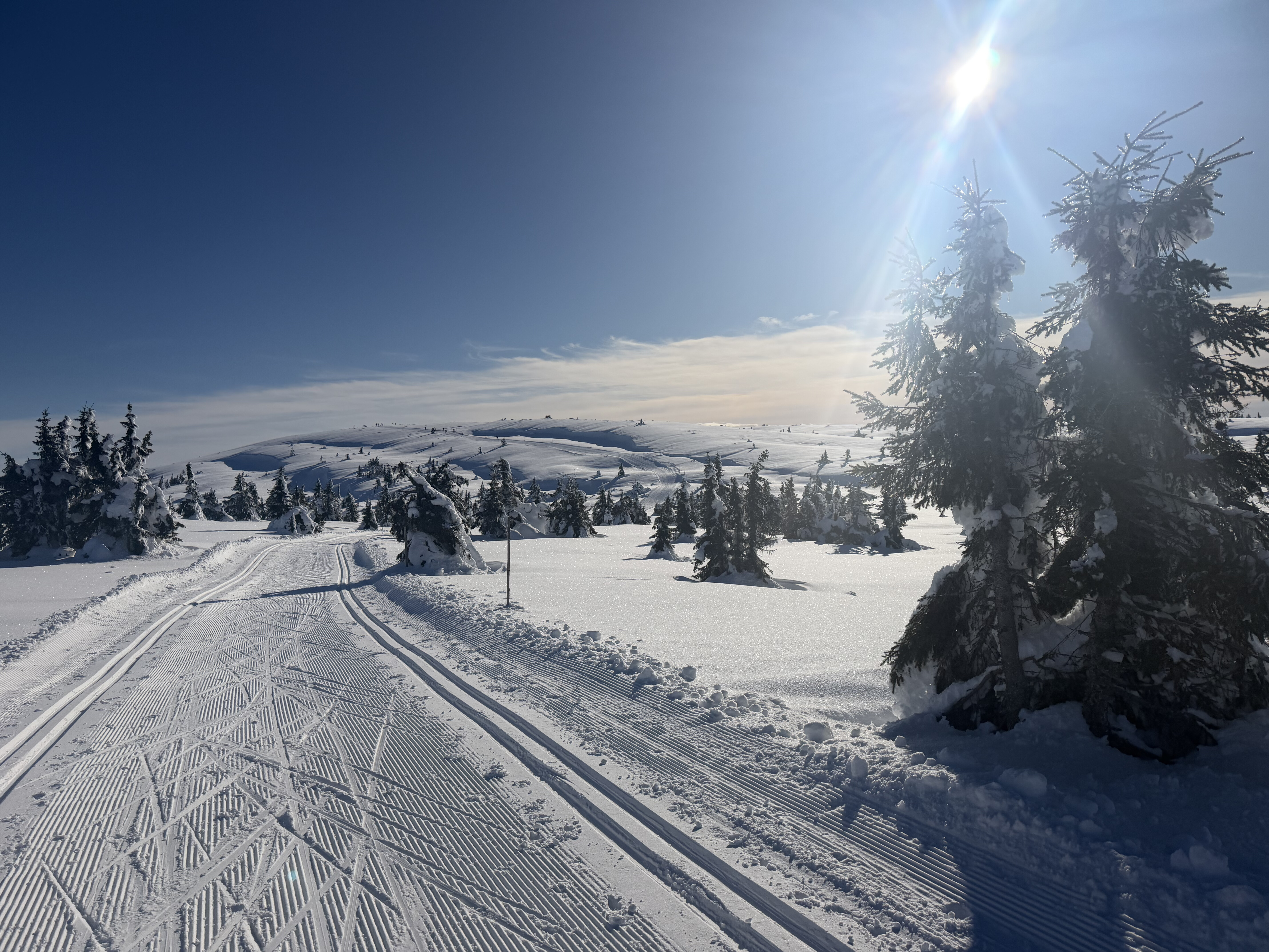
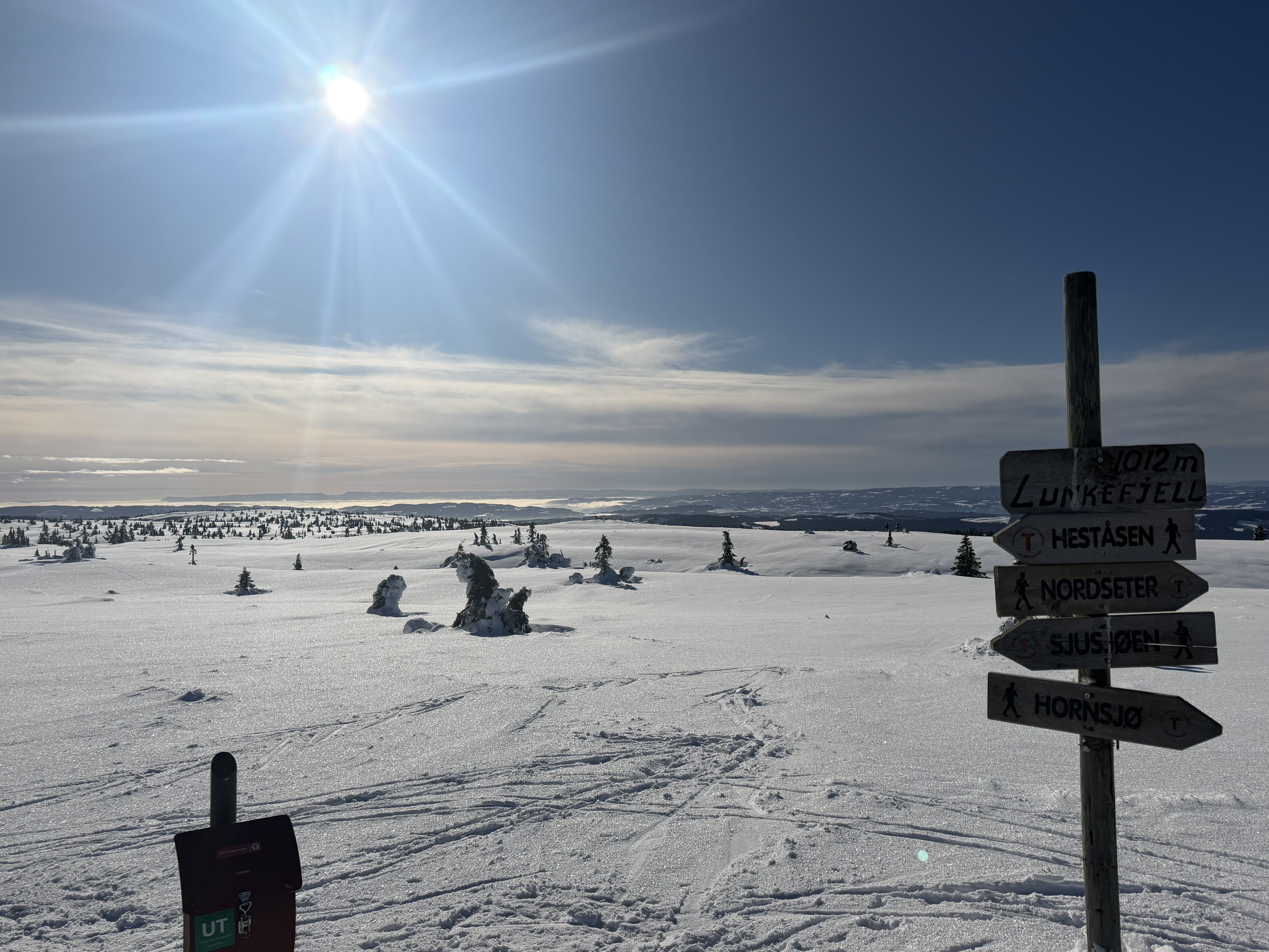
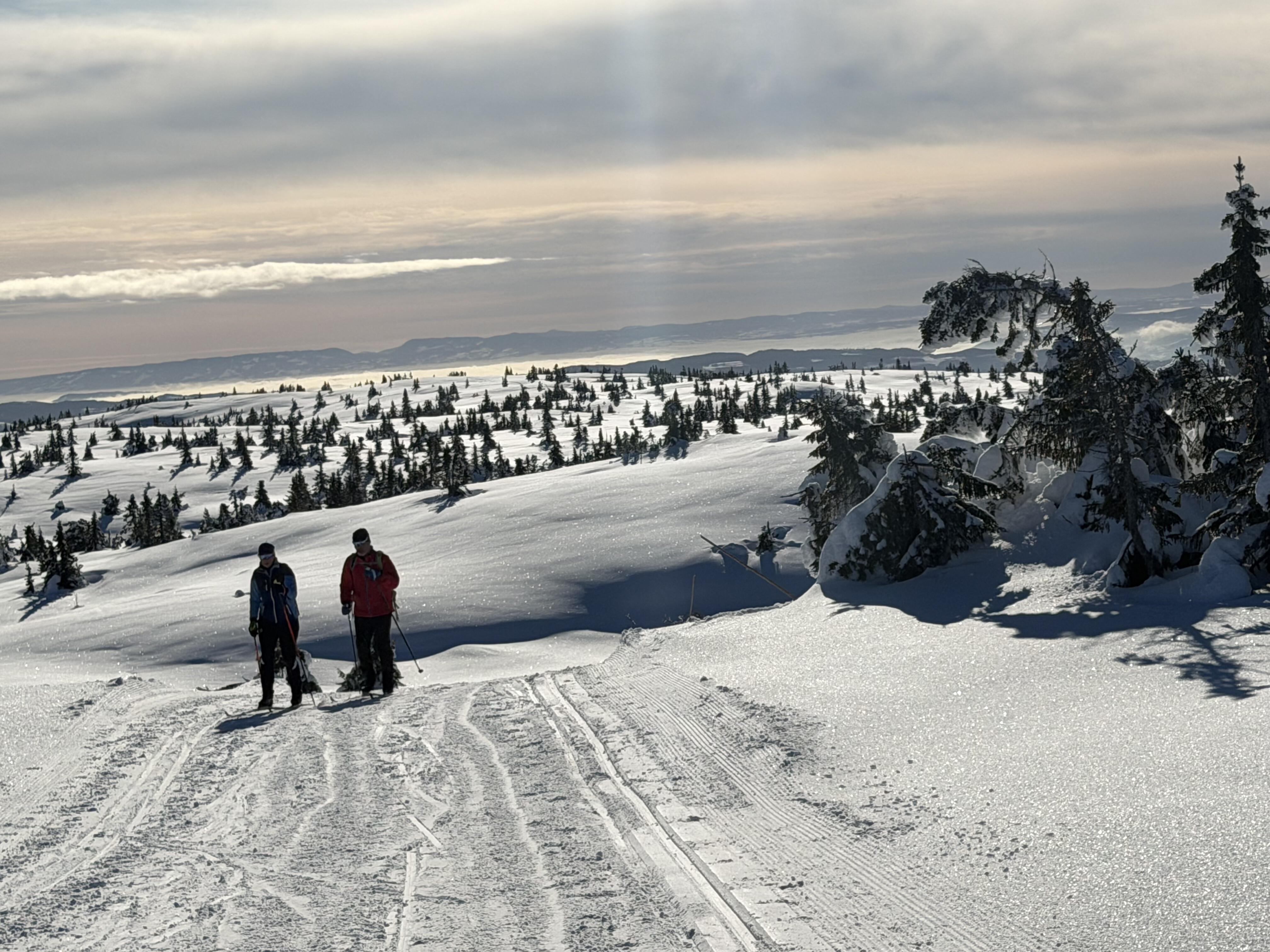
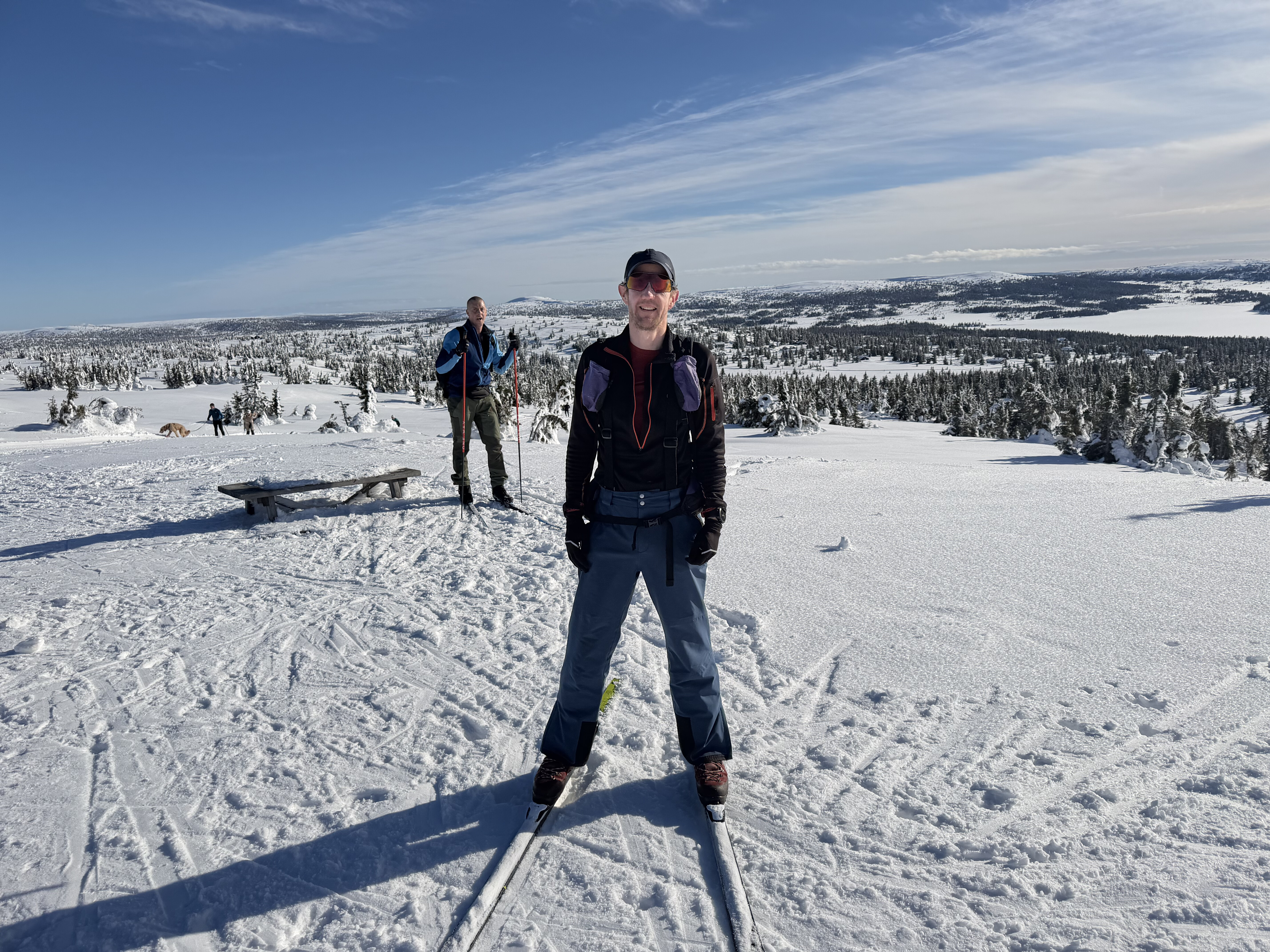
Back down to the hut for a little rest and food then I headed out in the other direction, alongside the lake and then to the top of another hill (Snorvillen) from which there was again magnificent views.
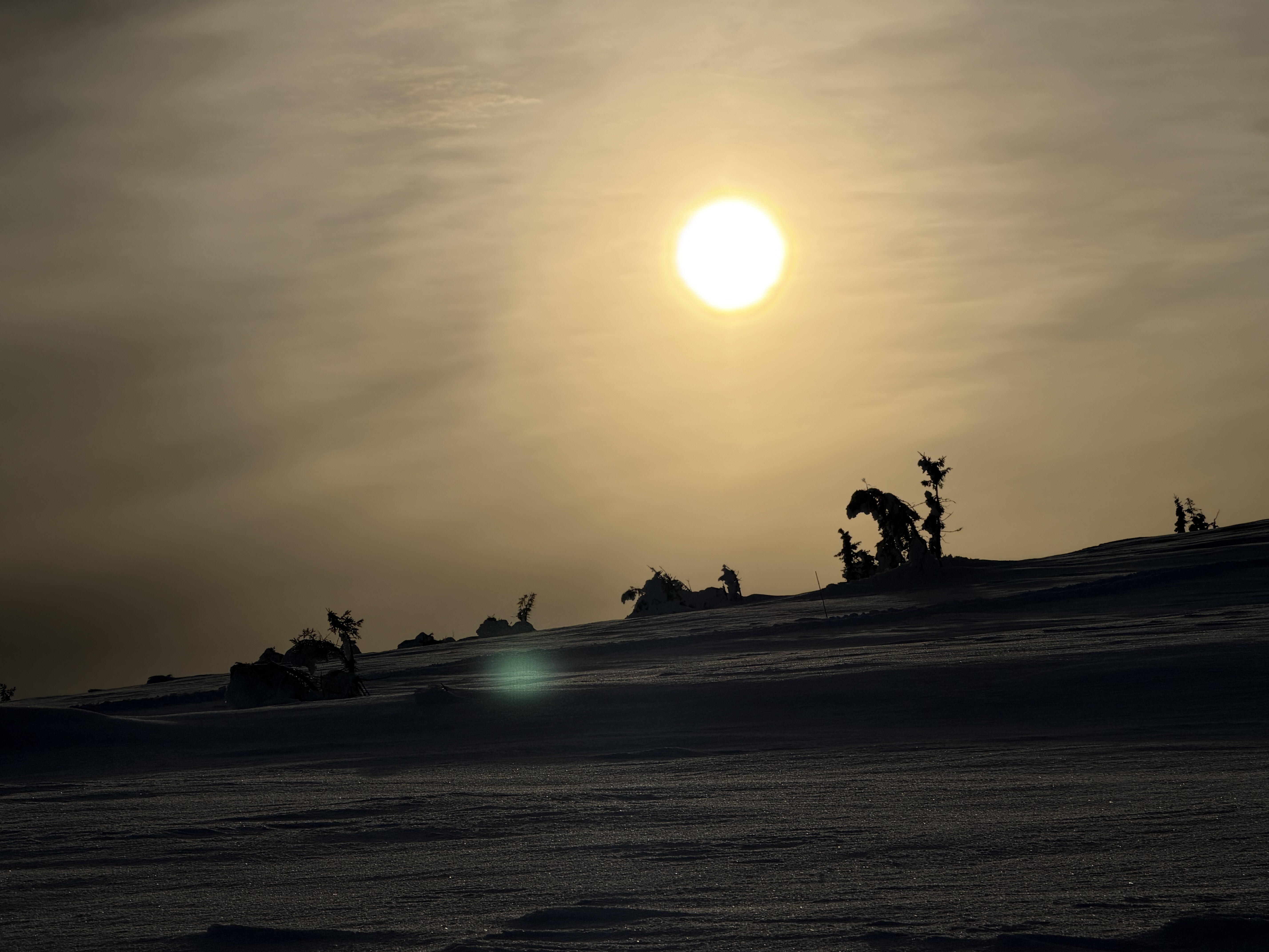
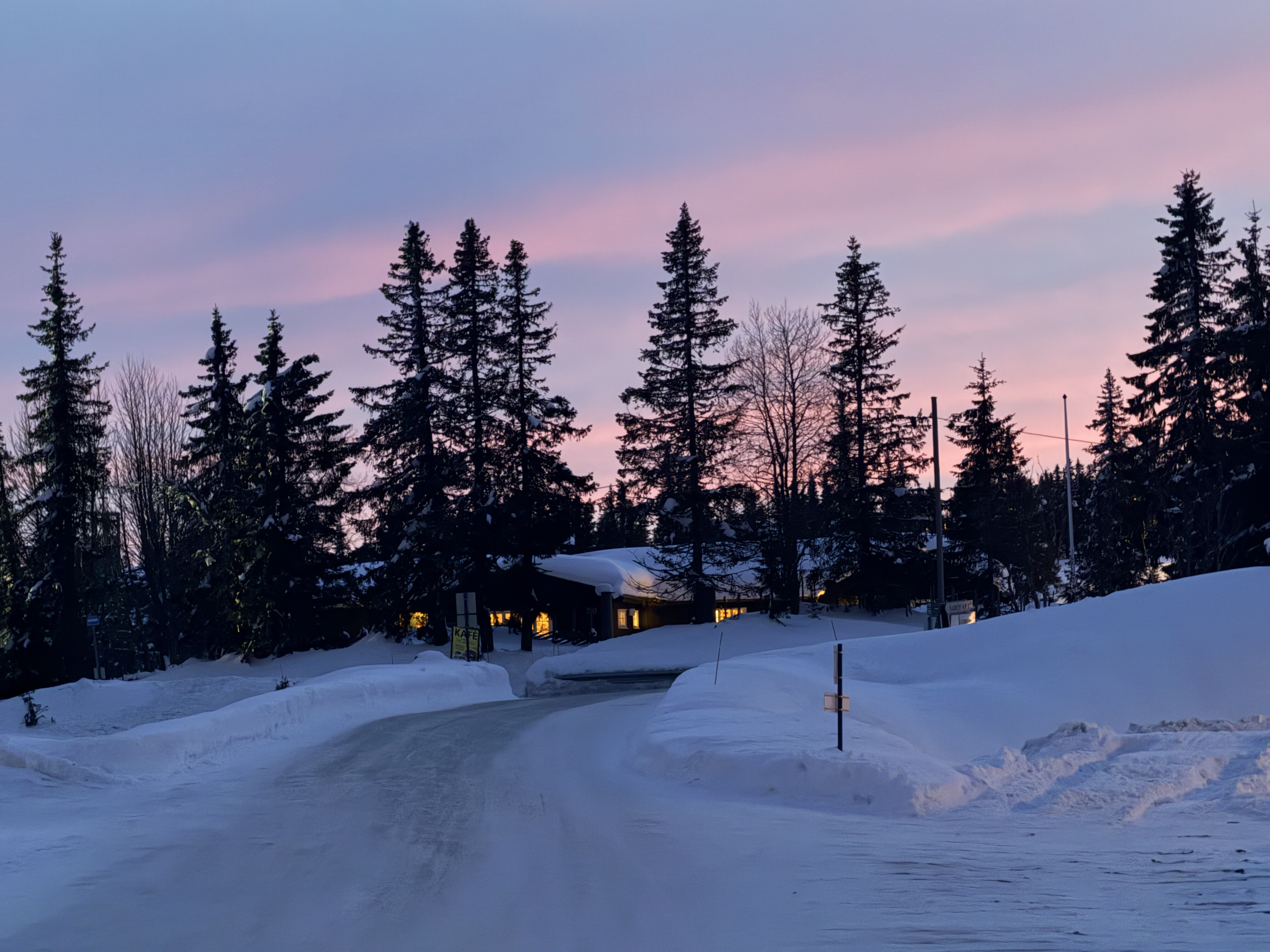
I ski-d down into the sunset, the perfect ending to a perfect day. I’d done around 20 miles and hadn’t even scratched the surface of what was available – there’s over 200 miles of groomed trails in the area, and over 1500 miles in the surrounding region.
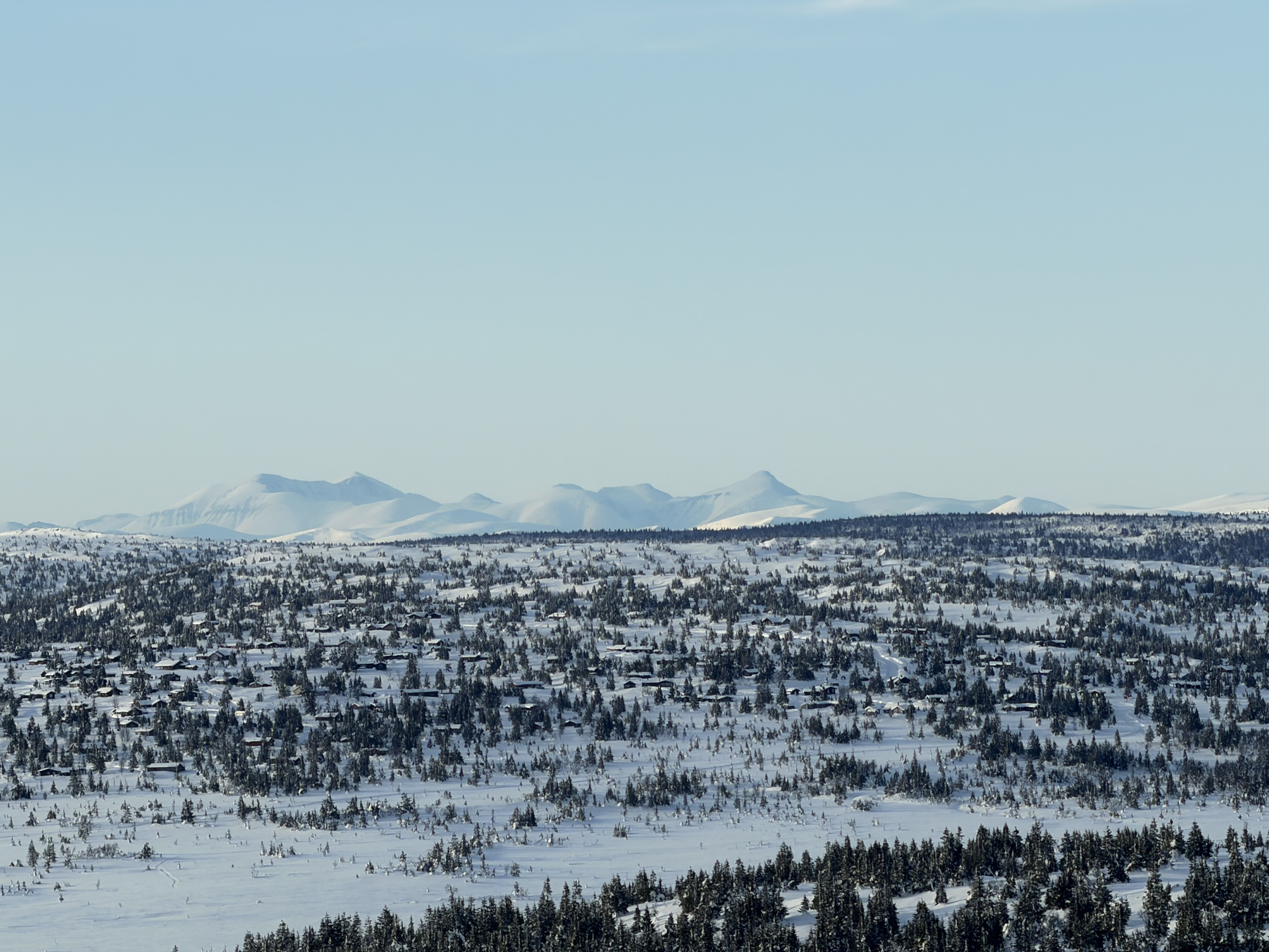
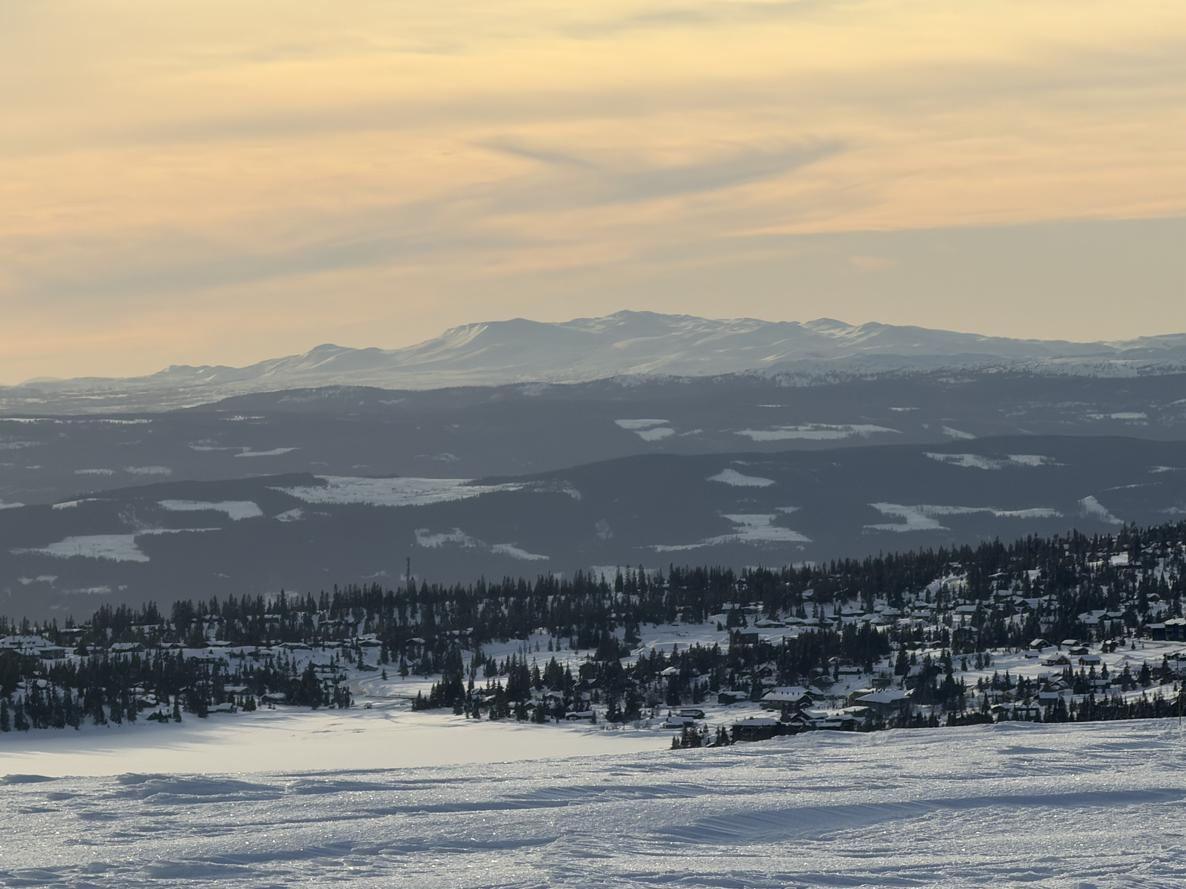
The piste machines are permanently grooming them and I wondered where the money came from as unlike and alpine resort there is no charge to use them.
After a bit of research I learned that the money comes from a number of sources. All residents and businesses in the local area pay a small tax. Money also comes from voluntary memberships and donations, and the Sporet App which I’d been using. It’s a great model and is used all over Norway.
Day 6: Sjusjoen to Lillehammer, 11 miles
It had snowed overnight which meant the trail was nice ski-ing and not icy like the previous day.
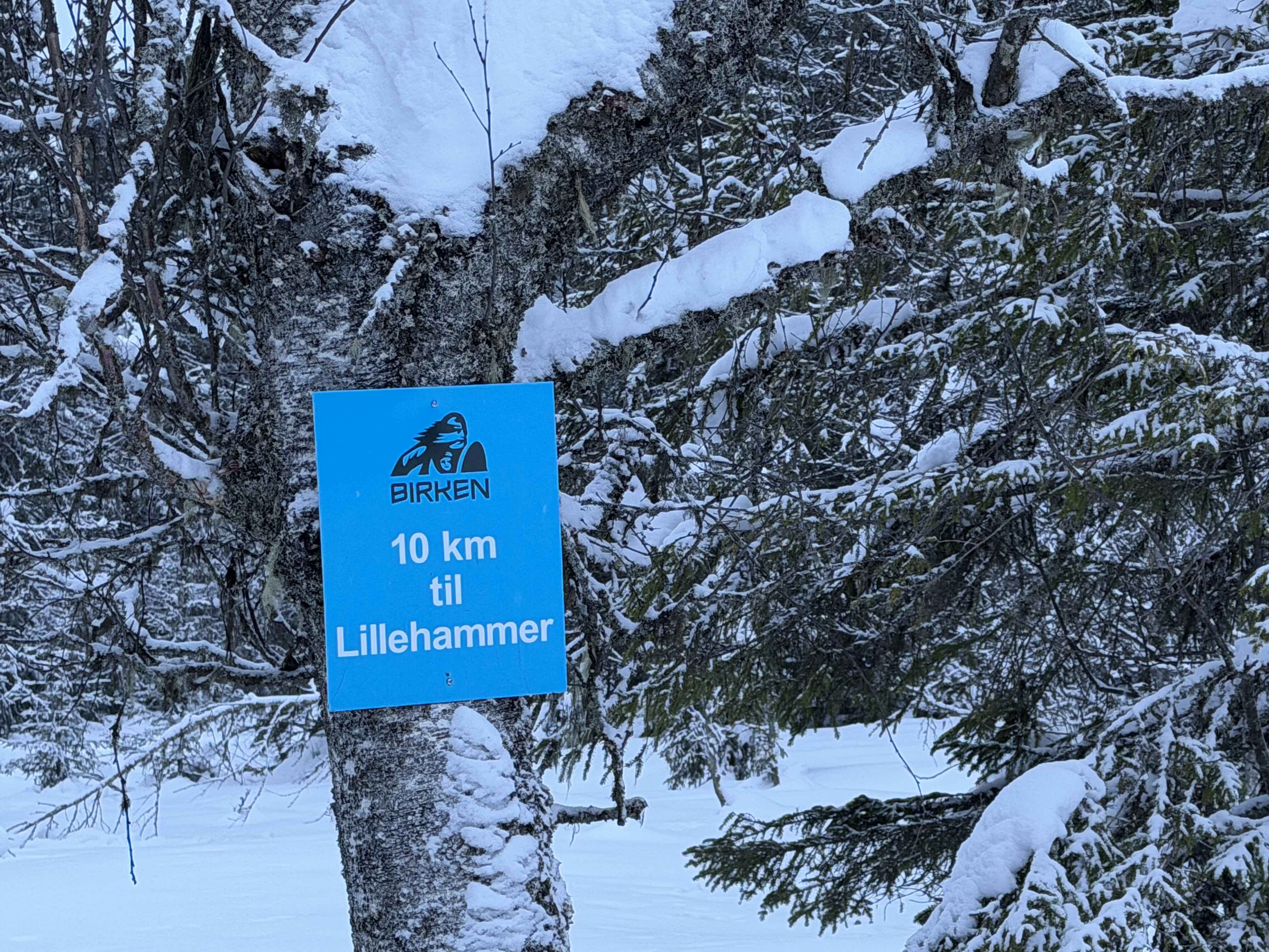
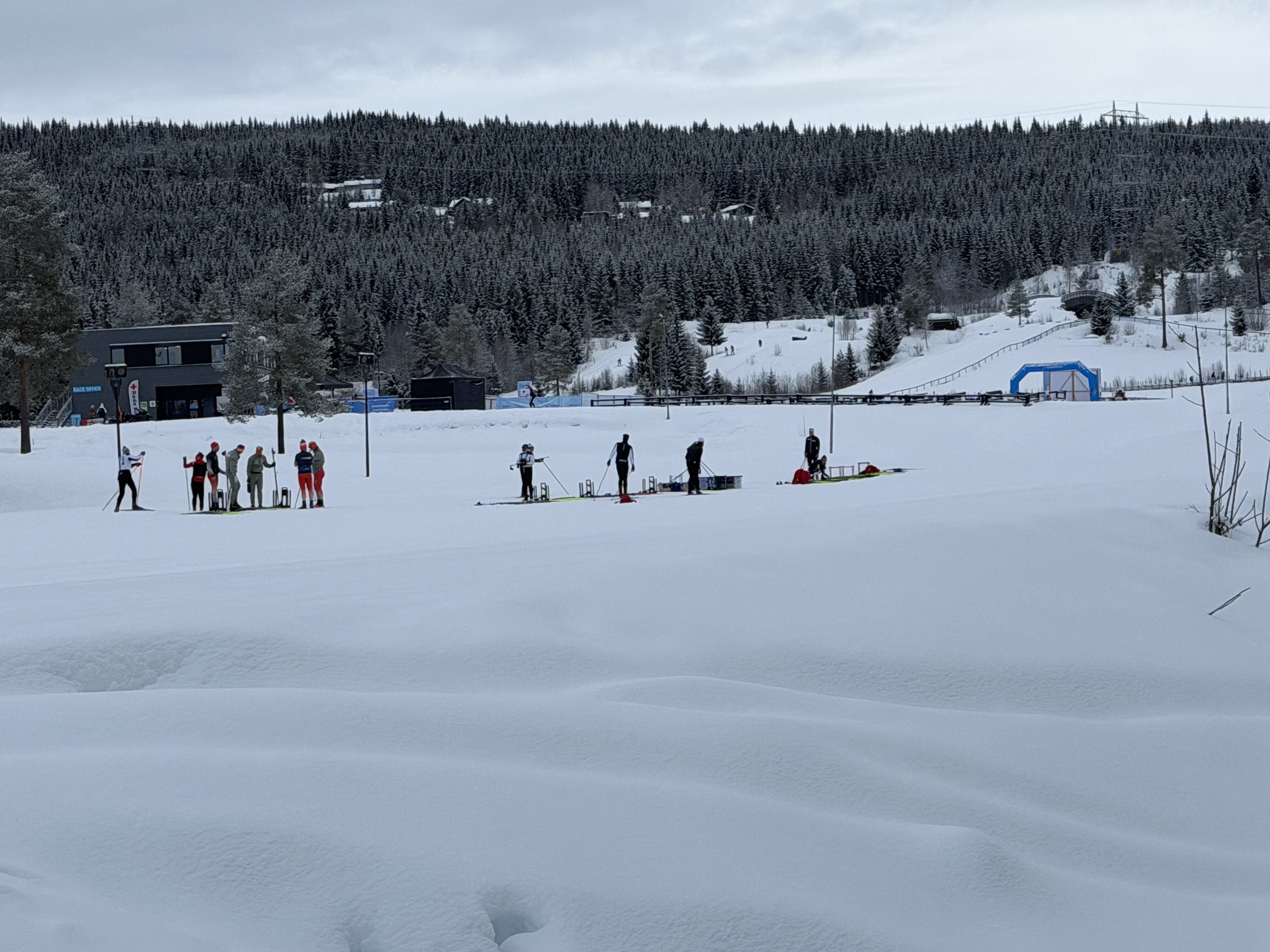
The route I was taking is also the route of a popular ski race, Birkebeinerrennet, in which around 18,000 people take part in every year. It was downhill all the way with a few steep ramps but nothing too challenging and I made it to the Olympic Stadium in no time. It was heaving with serious looking skiers, all going considerably faster than I was. I pootled around for a bit before heading the final few miles down to Lillehammer past the iconic ski jump and down to Hakons Hall, the official end of the Trolloypa.
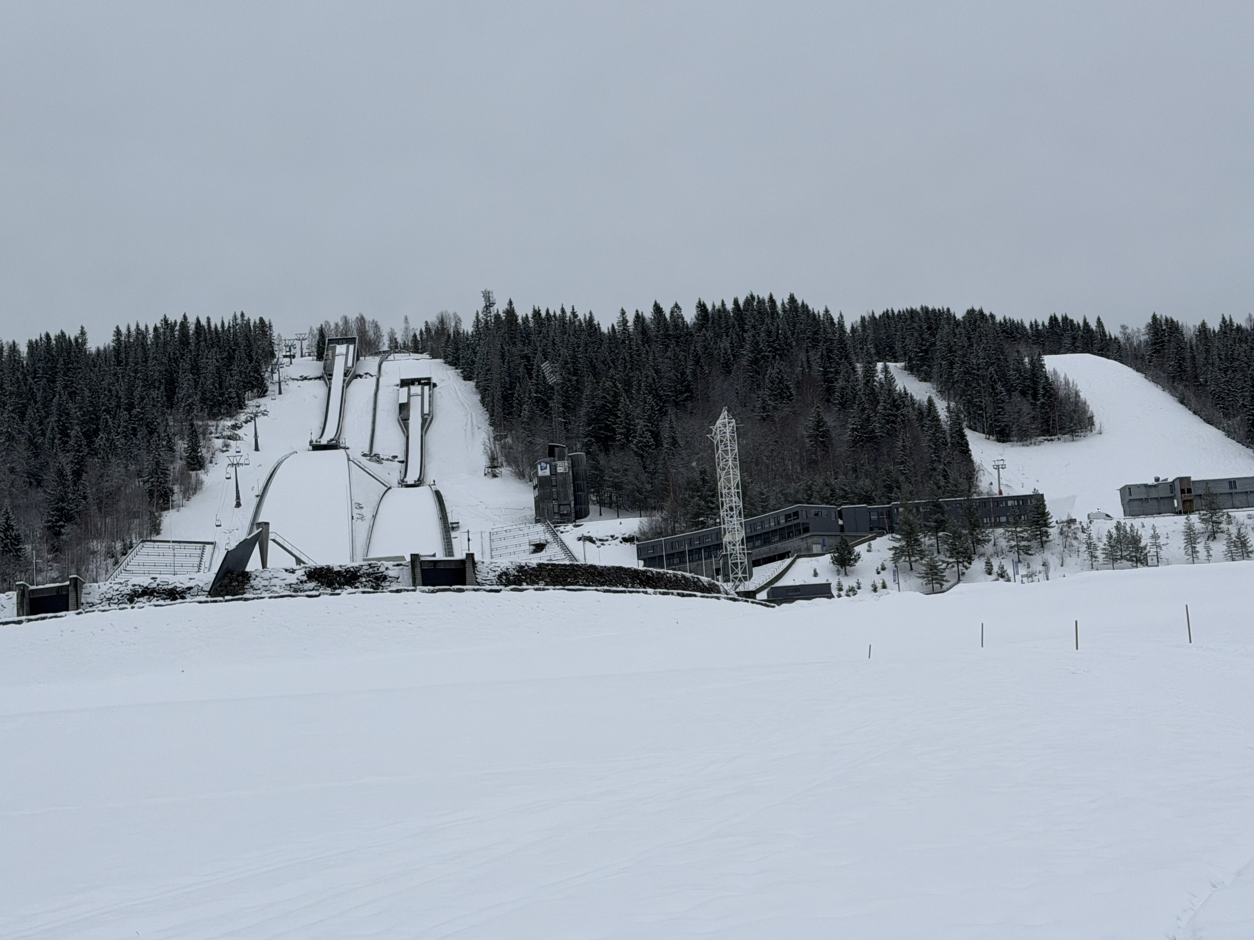
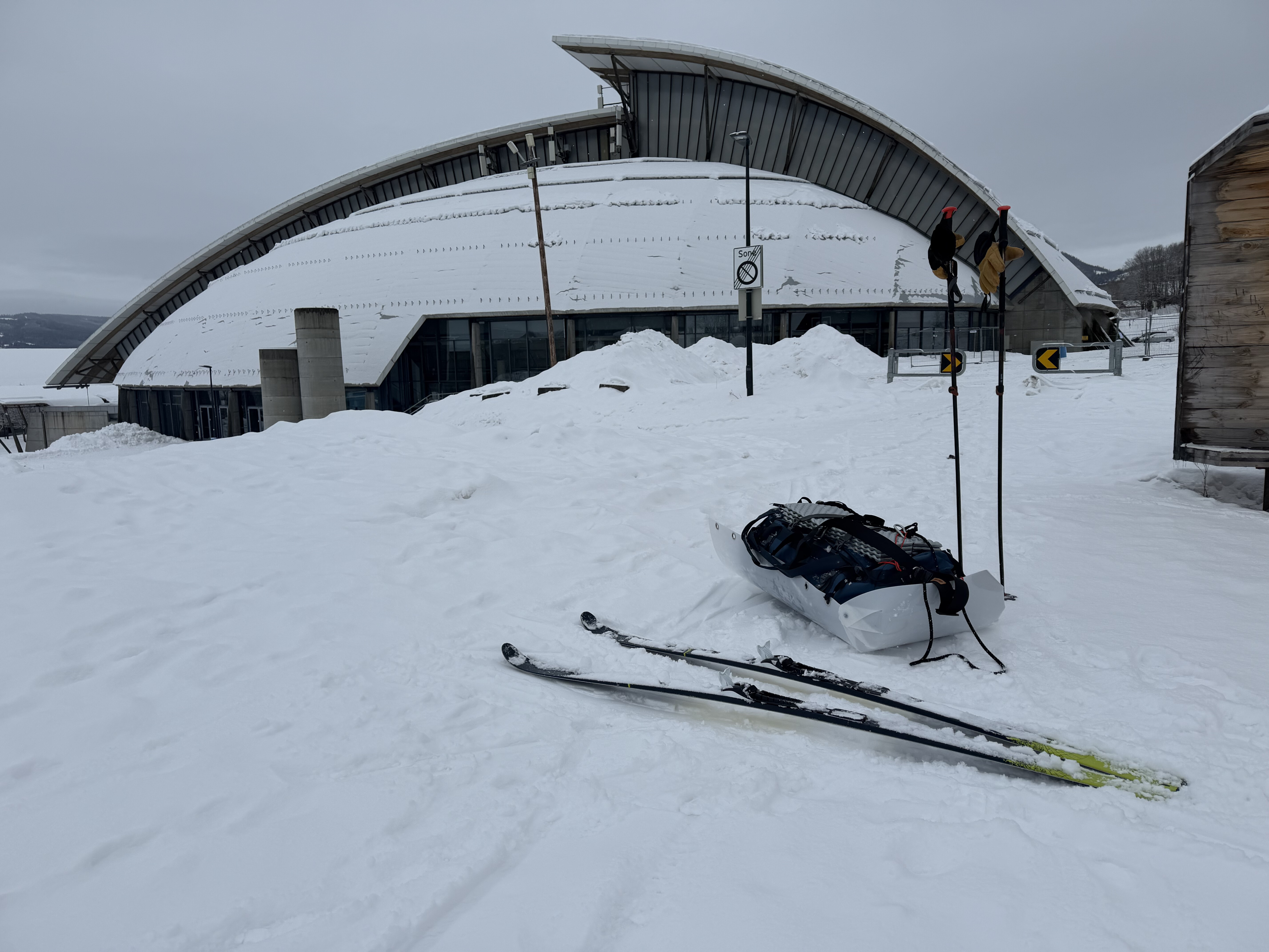
I had a little sleep in a shelter before heading to the train station to pack up all my kit and meet my fiend Bjorn who I’d met on the Arctic Spine the previous year and also organised the Mysuasater trip I’d been on a month earlier.
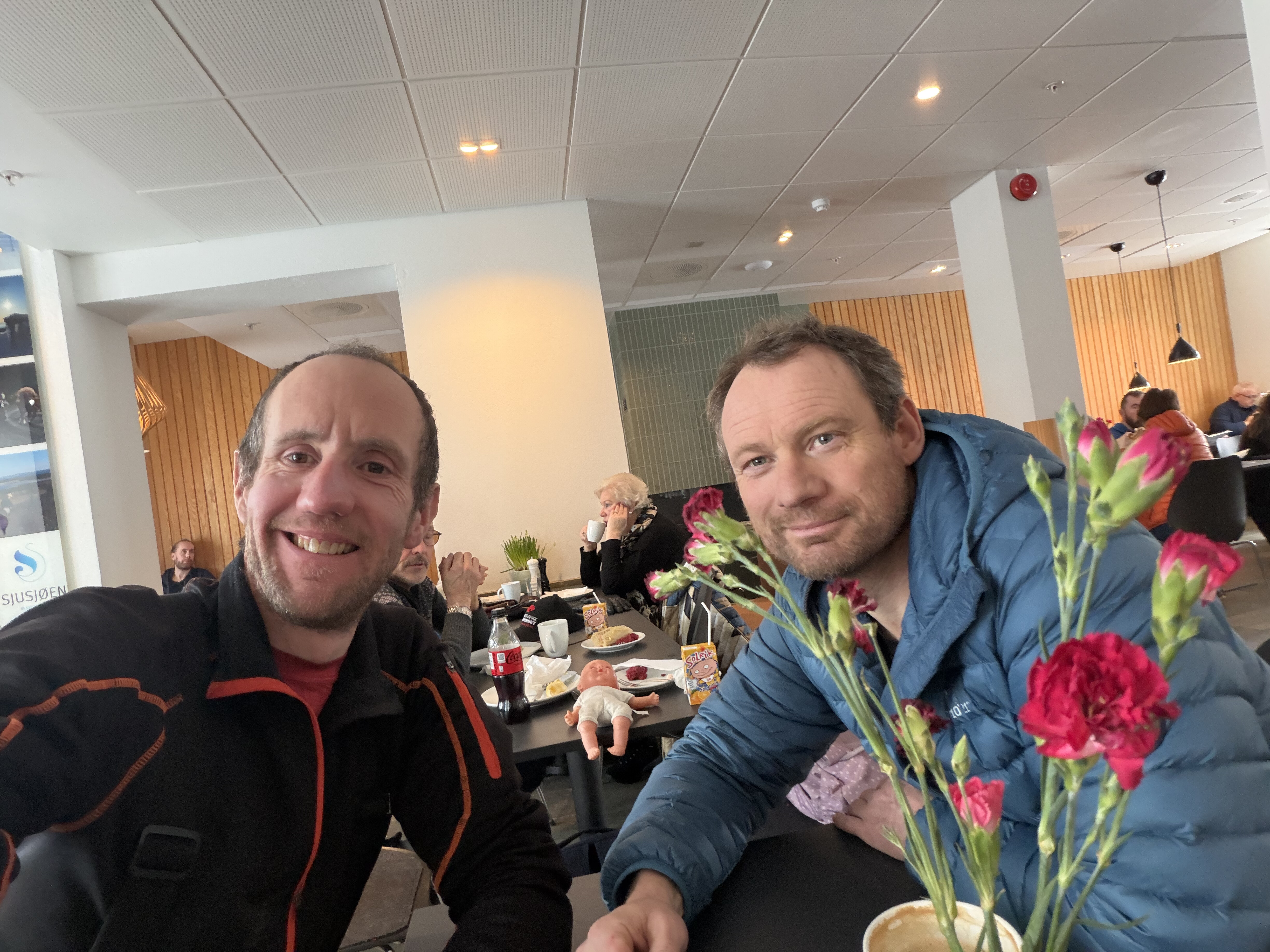
It was great to see him and we chatted for about an hour, sharing stories from my adventure and his recent storming victory at the Arctic Spine before I left to catch the train back to Oslo and then my flight(s) home.
A truly memorable trip which ticked every box and more, and made me even more eager to return.
Costs
| Item | Cost |
|---|---|
| Taxi to/from airport | £50 |
| Flights from Newcastle to Oslo (including 2 hold bags: skis and duffel bag) | £431 |
| Taxi from Otta to Mysusaeter | £50 |
| Train | £30 |
| Accommodation: Mysusaeter servicestation | £48 |
| Accommodation: DNT | £35 |
| Accommodation: Susjoen (2 nights) | £138 |
| Total | Roughly £800 |
I brought all of my food with me, so those costs were minimal.
Kit
- Hilleberg Soulo BL tent
- Closed cell sleeping mat
- North Face Inferno -40 sleeping bag
- Jemtlander PullPac 11M
- OEX Ballistic Cargo Bag 120L (used as a pulk bag and also to transport the pulk in transit)
- Fischer Transnordic 82 Easy Skin Ski with NNN-BC bindings
- Fischer Mohair Easy Skins 50mm
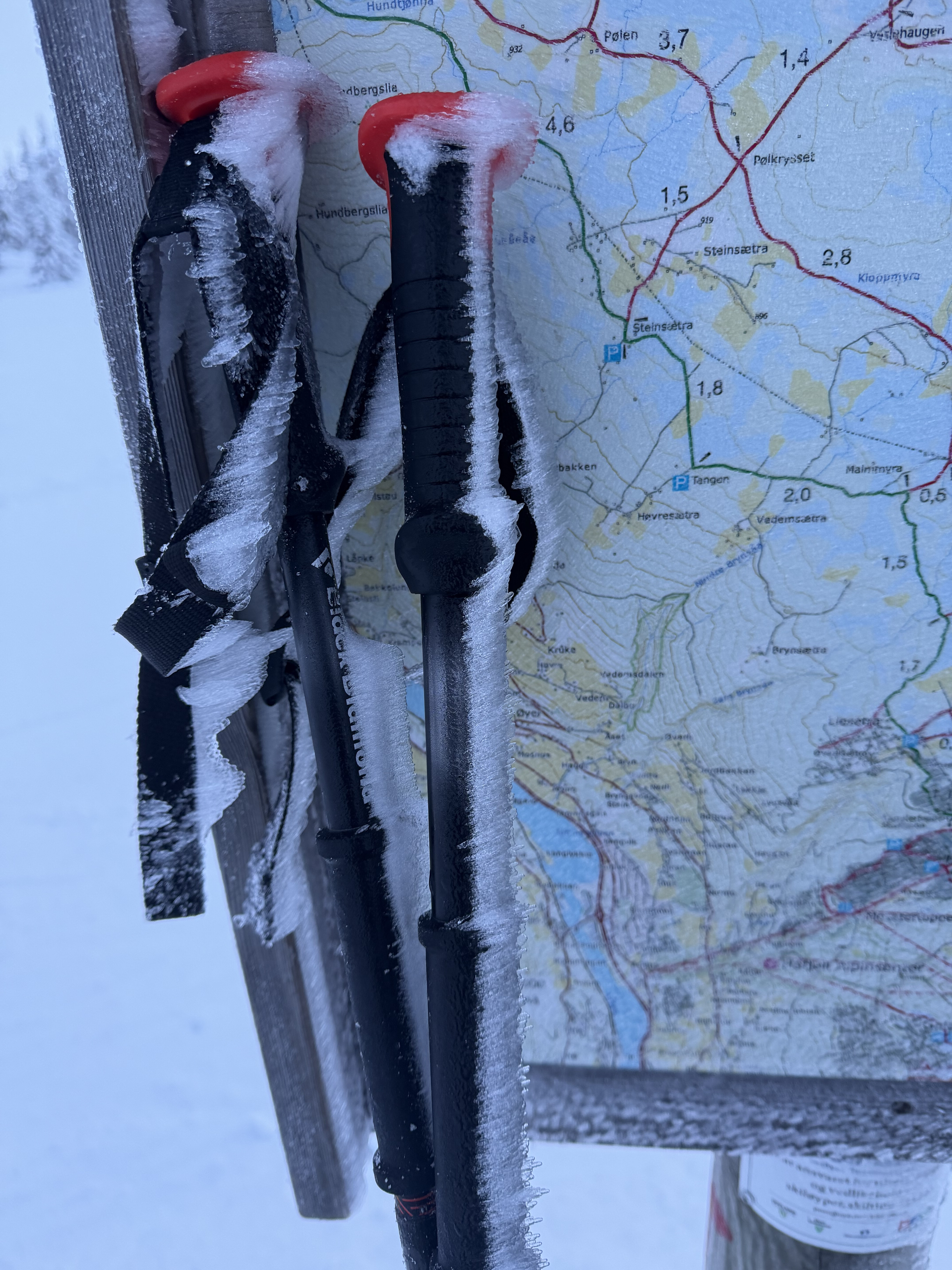
- Black Diamond Traverse Ski Poles
- Alpina Alaska Ski boots
- Montane Phase Waterproof gaiters
- Montane Ajax GORE-TEX Jacket
- Alpkit Fantom Down Jacket
- Black Diamond Legend leather gloves
- Hestra Army Heli Ski Mitts
- 25L OMM Classic rucksack
- 1l Stanley Flask
- Alpkit BruKit Gas stove (canister bought in Otta)
Maps
Nordeca Tukart Varenr:2716 (Rondane 1:100,000) Nordeca Tukart Varenr: 2509 (Ringebu) Nordeca Tukart Varenr: 2495 (Oyer - Lillehammer)